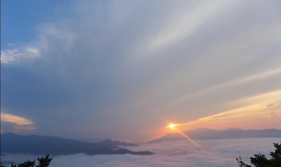
(This is the last part in a series of five entries for Tanay – Daraitan)
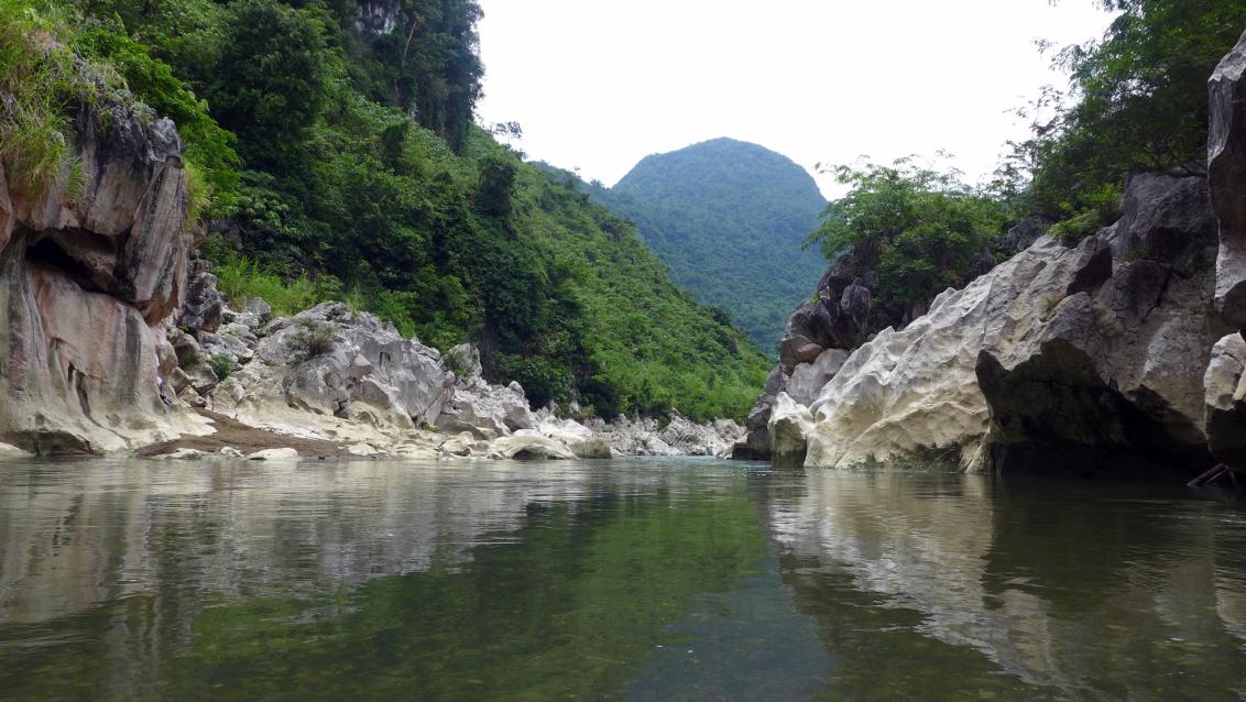
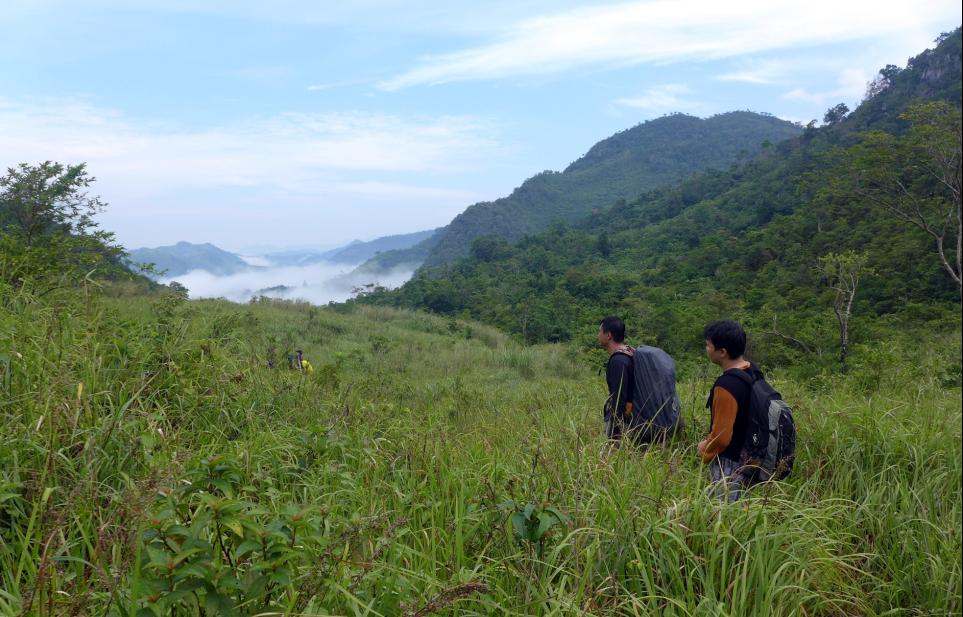
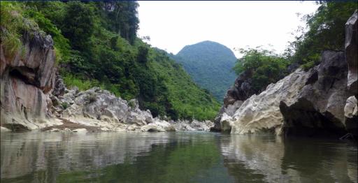
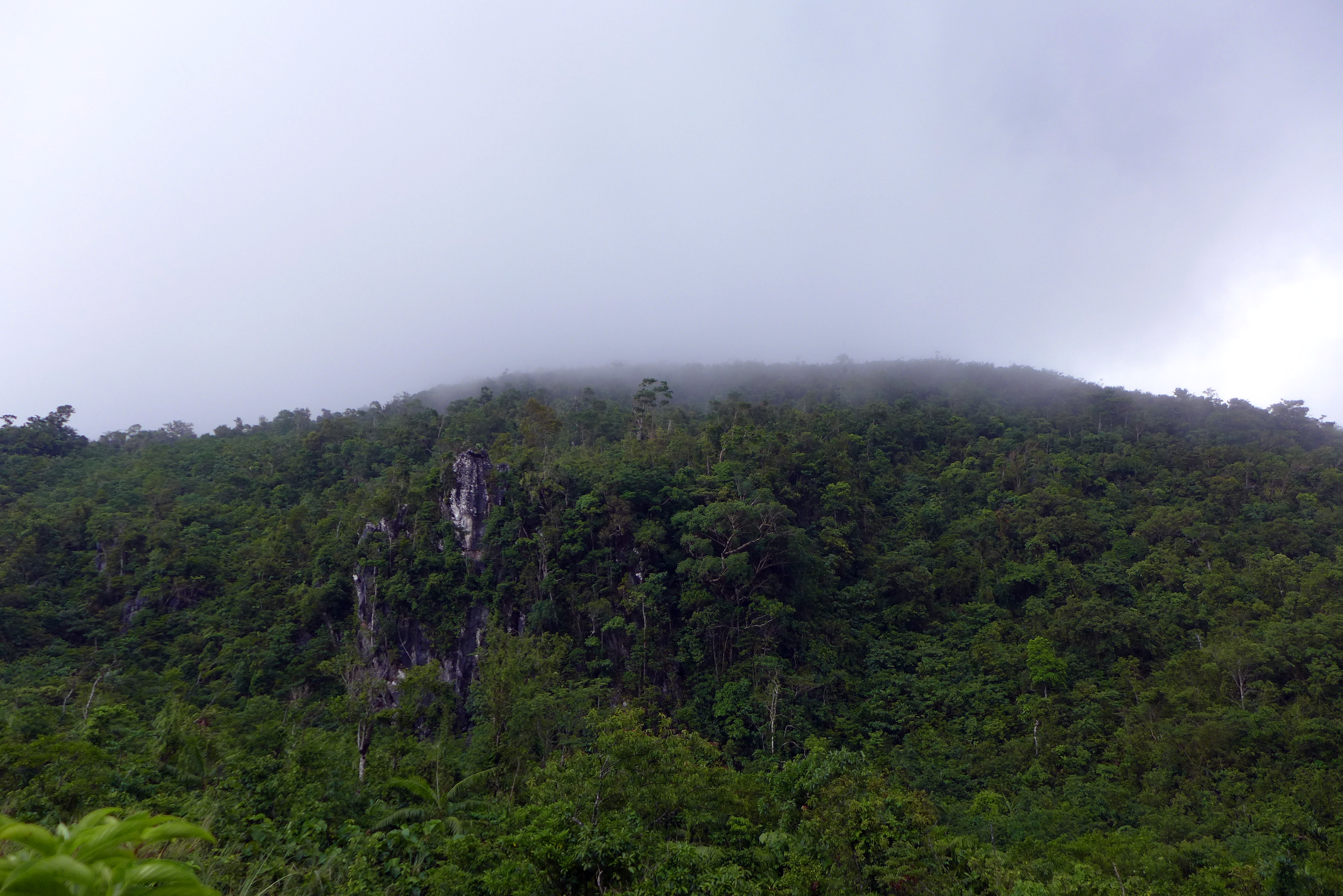
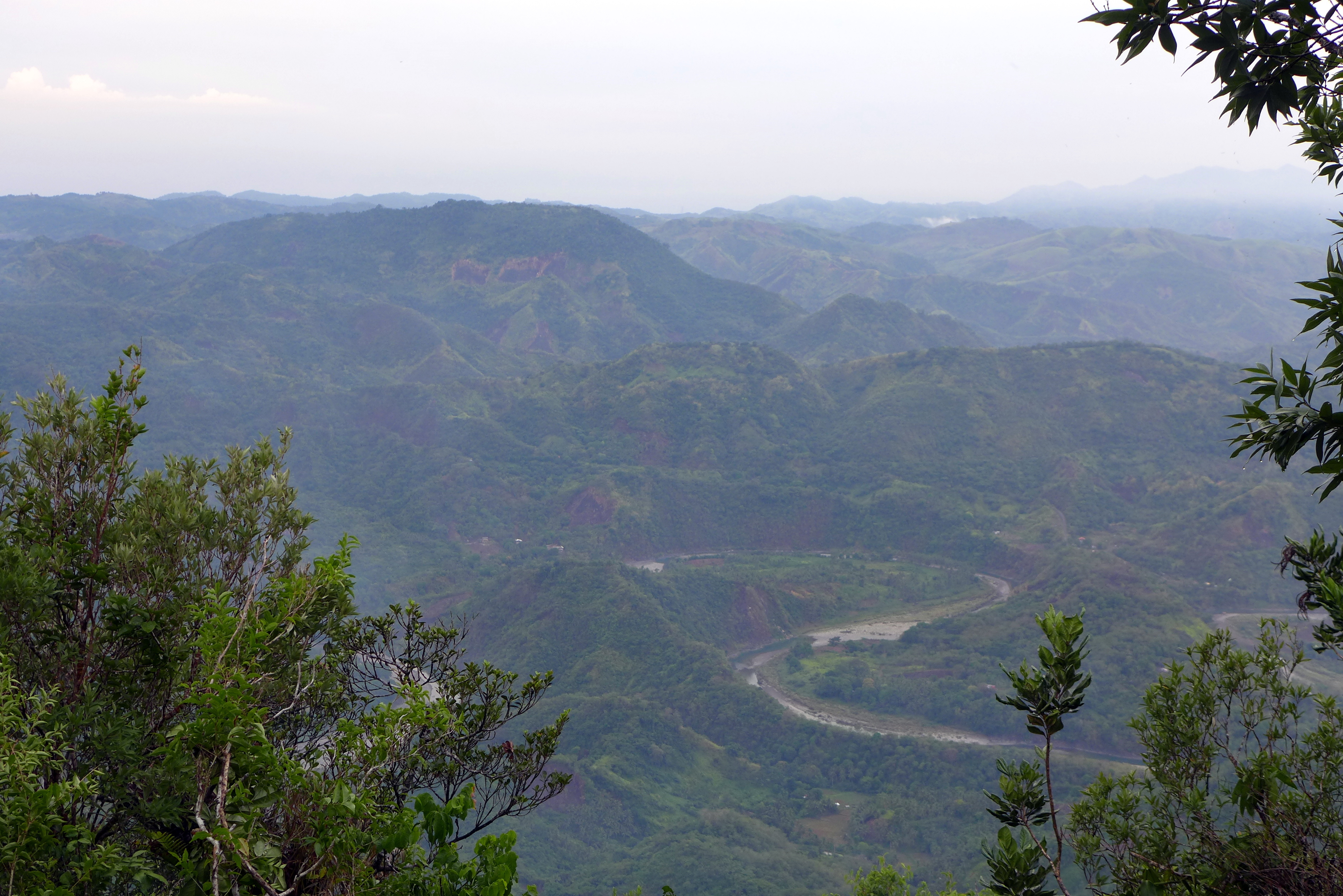
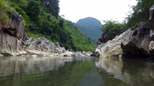
Tinipak River dissects the Sierra Madre mountain range and travels along the valley of Mount Daraitan and adjacent mountains. The river sources its water from rainfall that then flows through runoffs, or percolates and gushes at springs, streams and cave systems usually found at higher elevations. It then ends it journey at the Pacific Ocean near Polillo Islands.
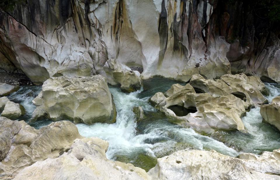
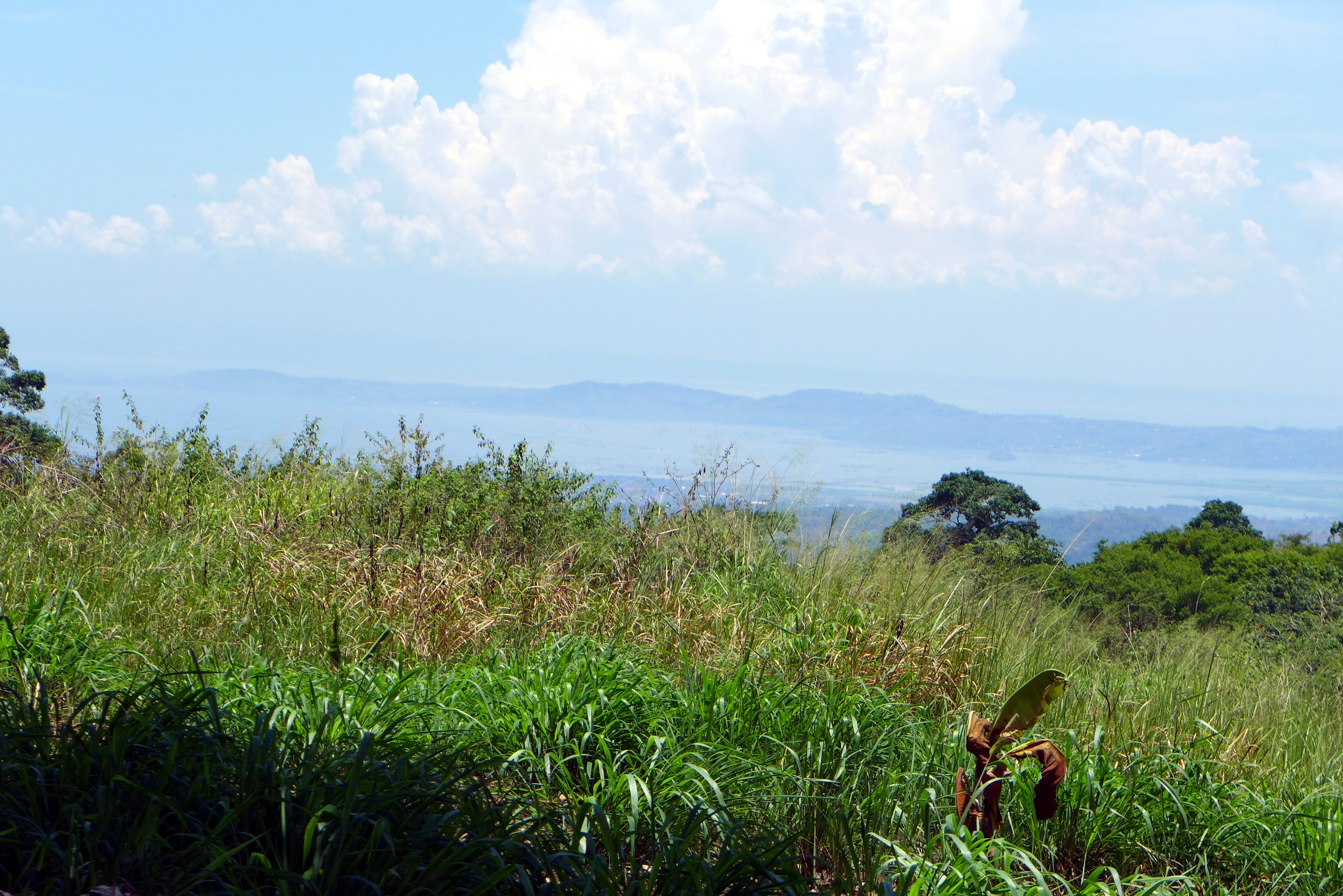
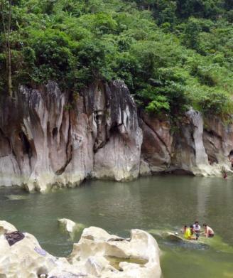
Tinipak River and Cliff Formations
Tinipak River and Cliff Formations
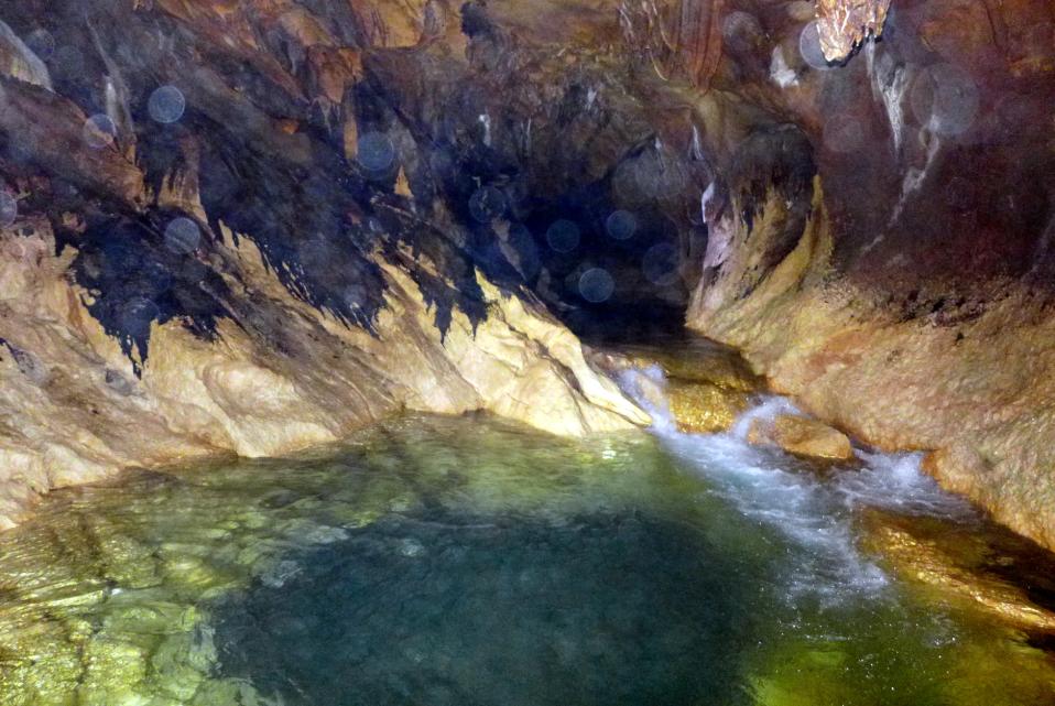
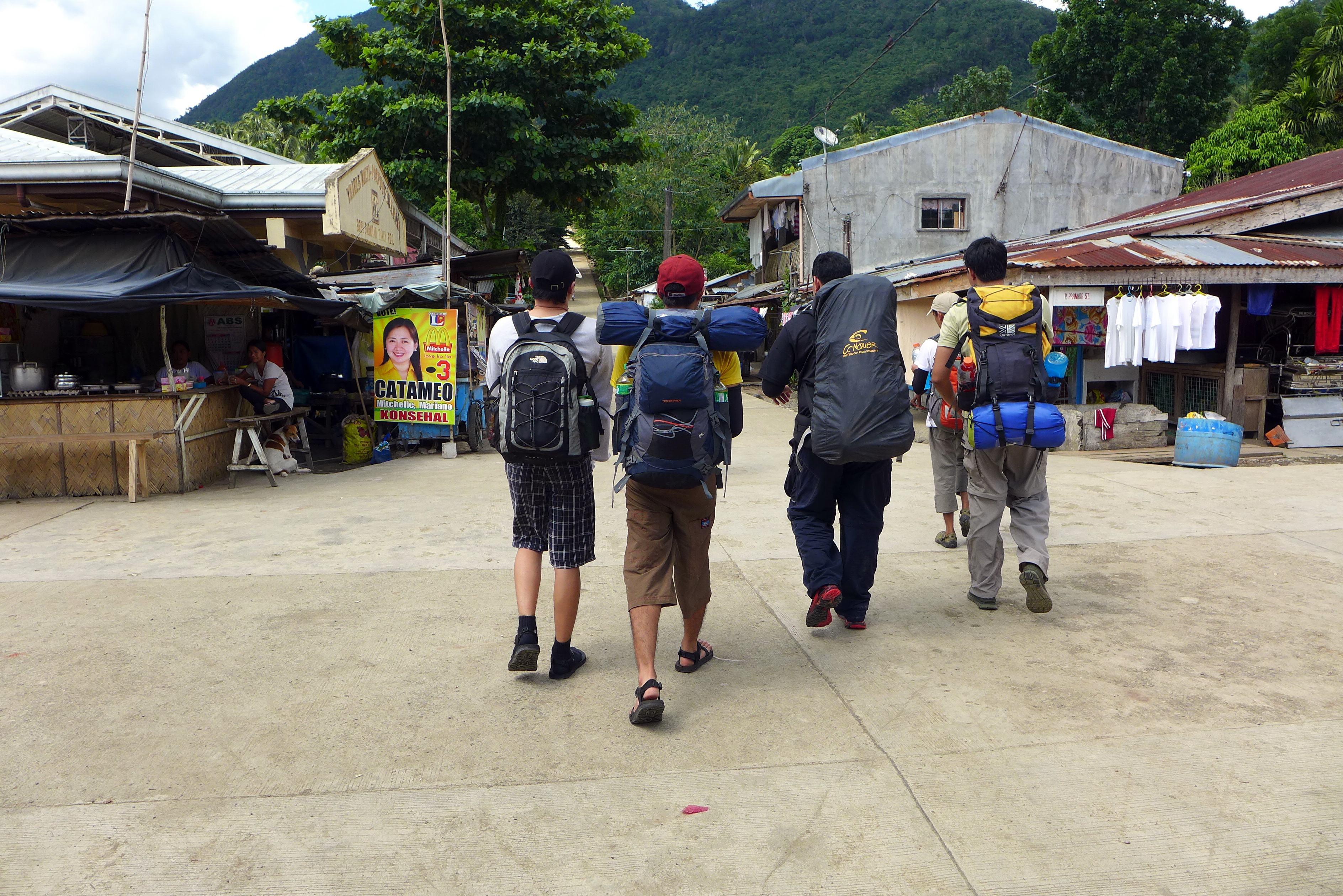
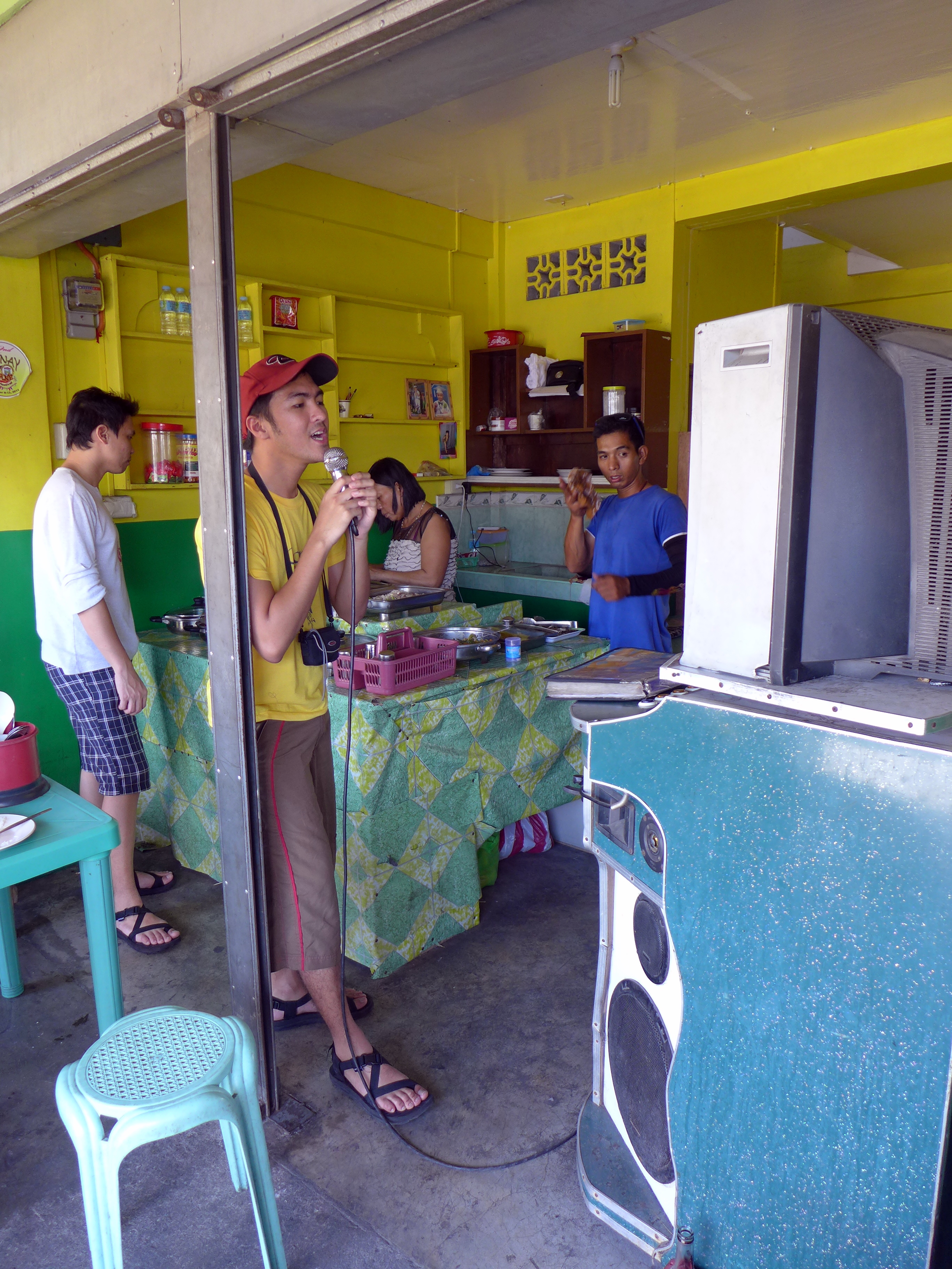
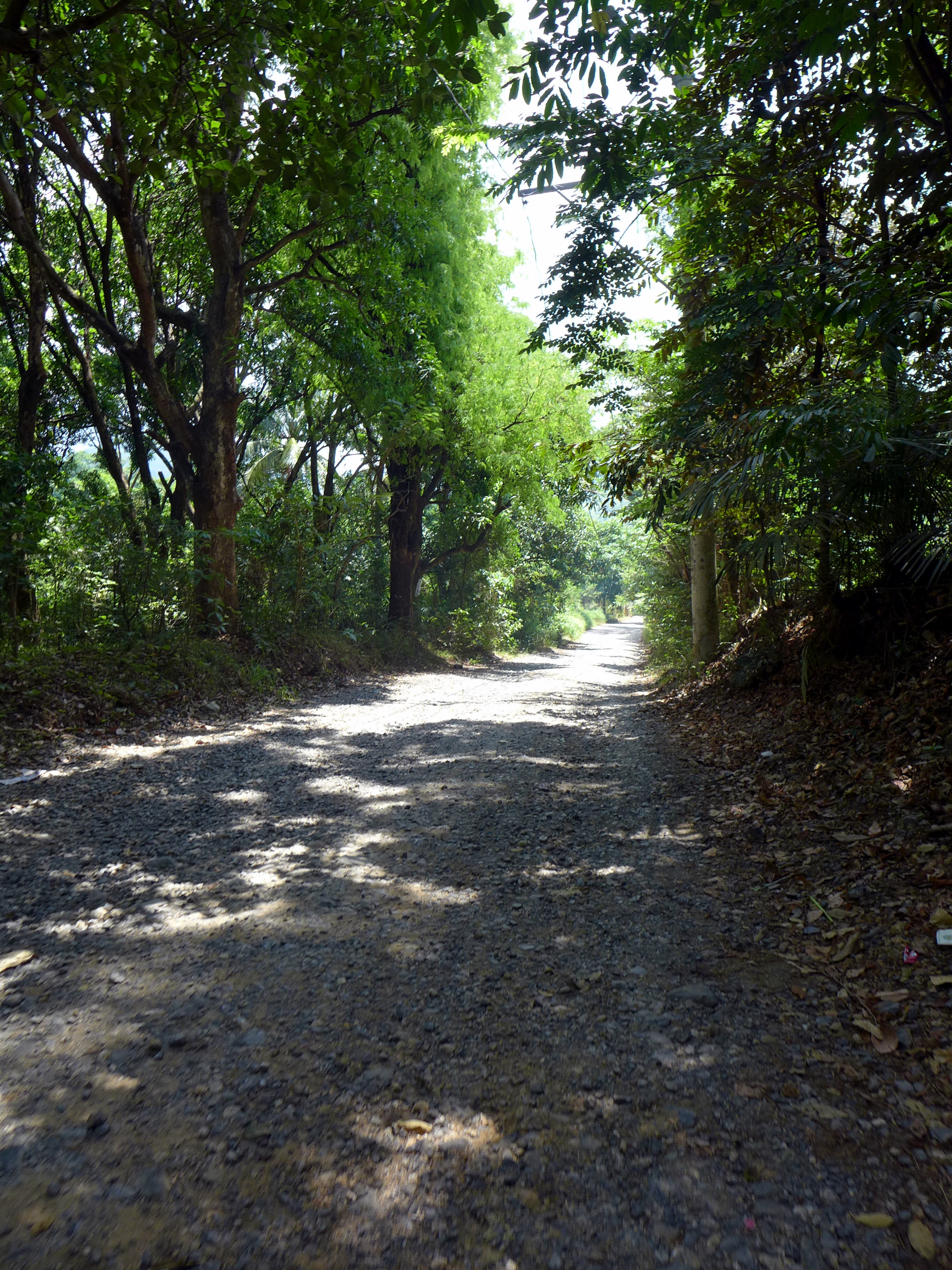
After reaching Tinipak River, we bought supplies for refreshment and for lunch at a sari-sari store. We then hiked another 15 minutes until we reached the camping spot along the banks of the river. A natural mineral spring for drinking water and cooking is also located near the camping spot. We were amazed with the limestone and marble formations along the sides of the river.

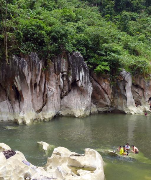
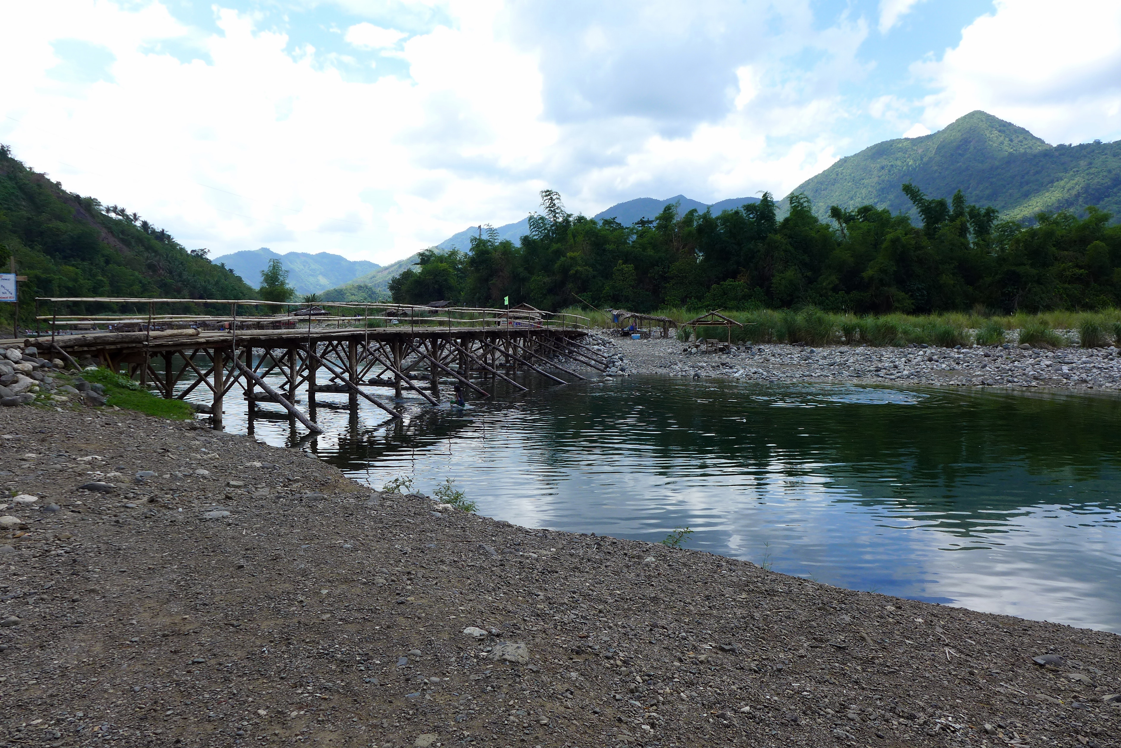
Tinipak River Cascades / Rapids
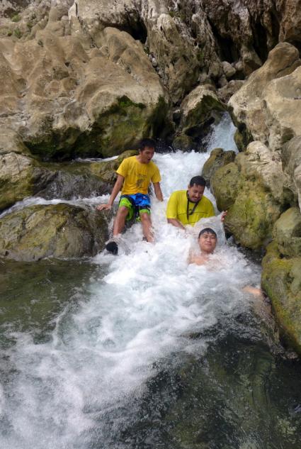
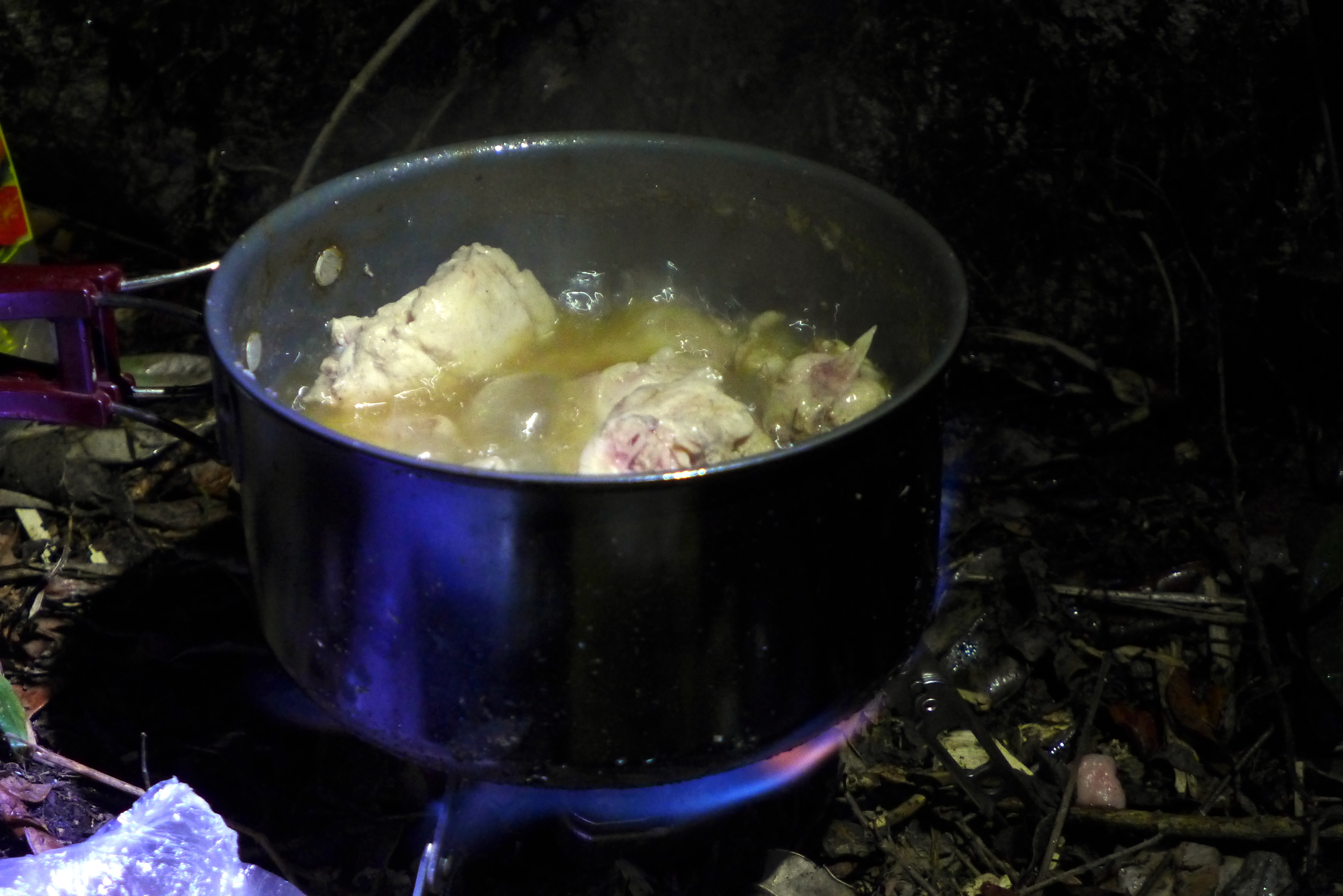
After swimming and bathing along the river, we got to view some local kids that are fond of cliff diving. One thing to note is that the river current is strong so it is advised to be careful in swimming near cascades or rapids. We then cooked and ate our lunch and proceeded with the caving activity.
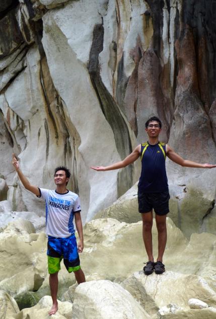
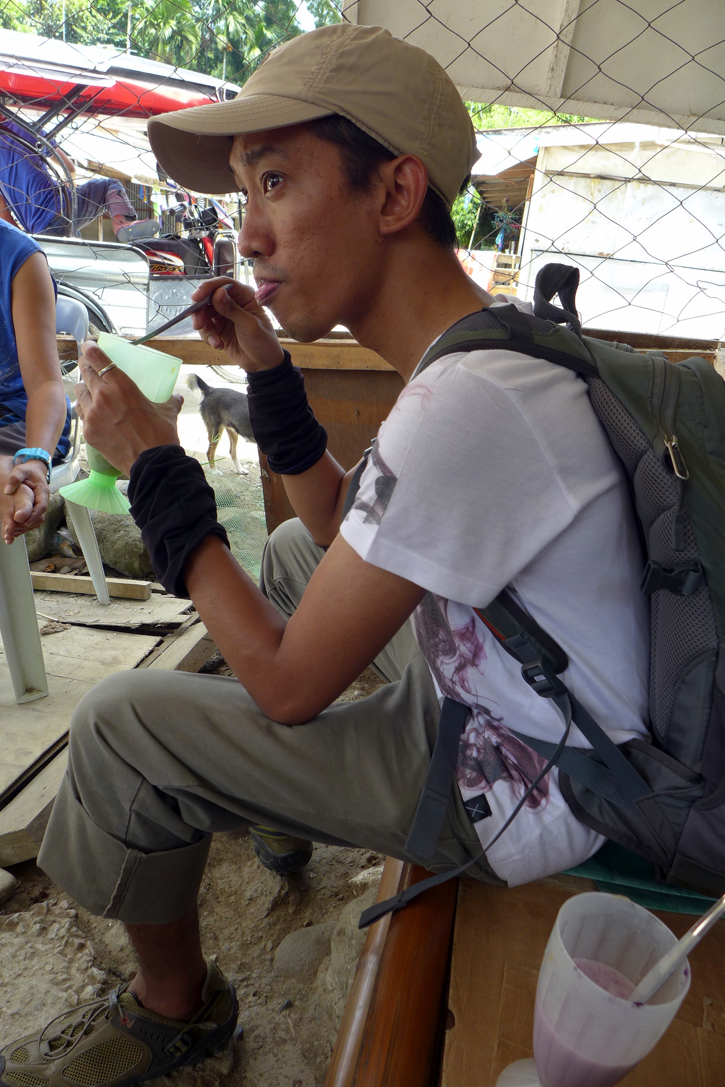
Team Dips in the River
–

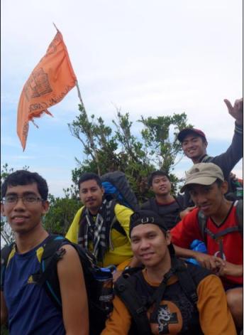
Geof and I doing our School Pose
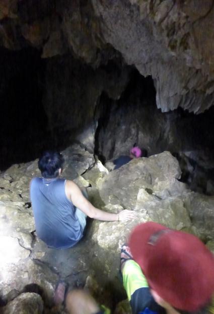
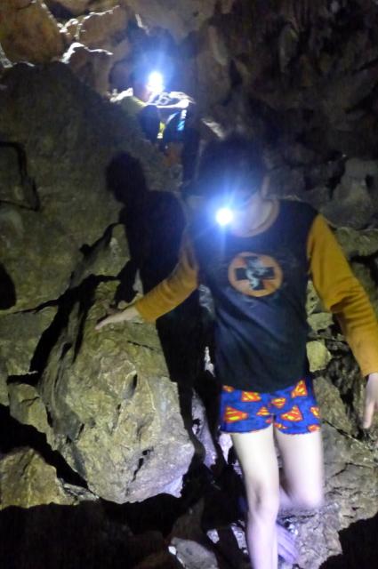
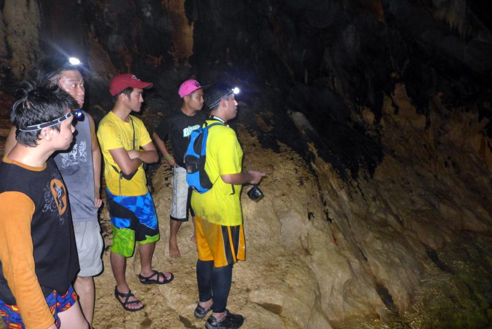
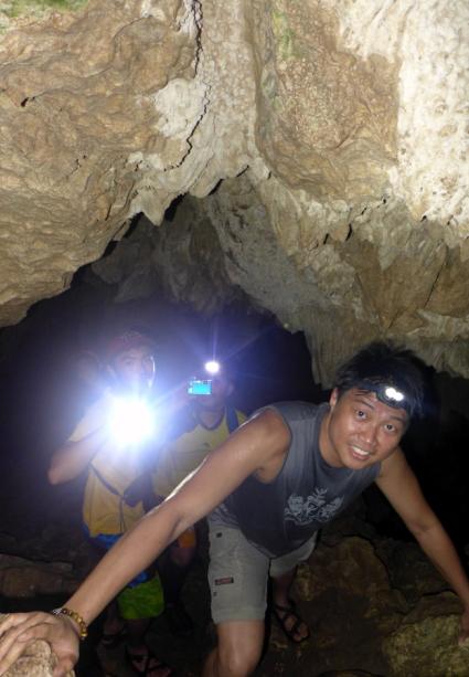
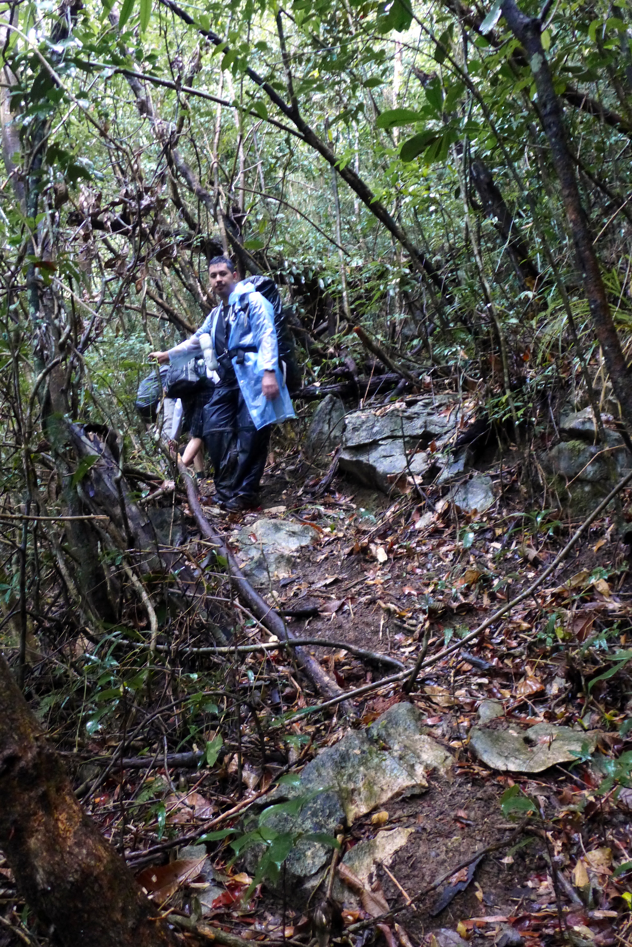
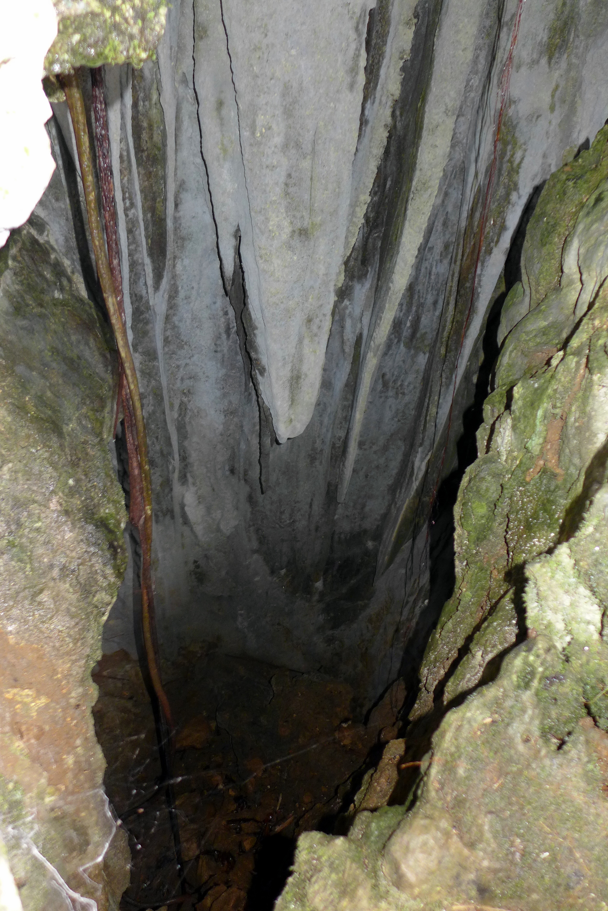
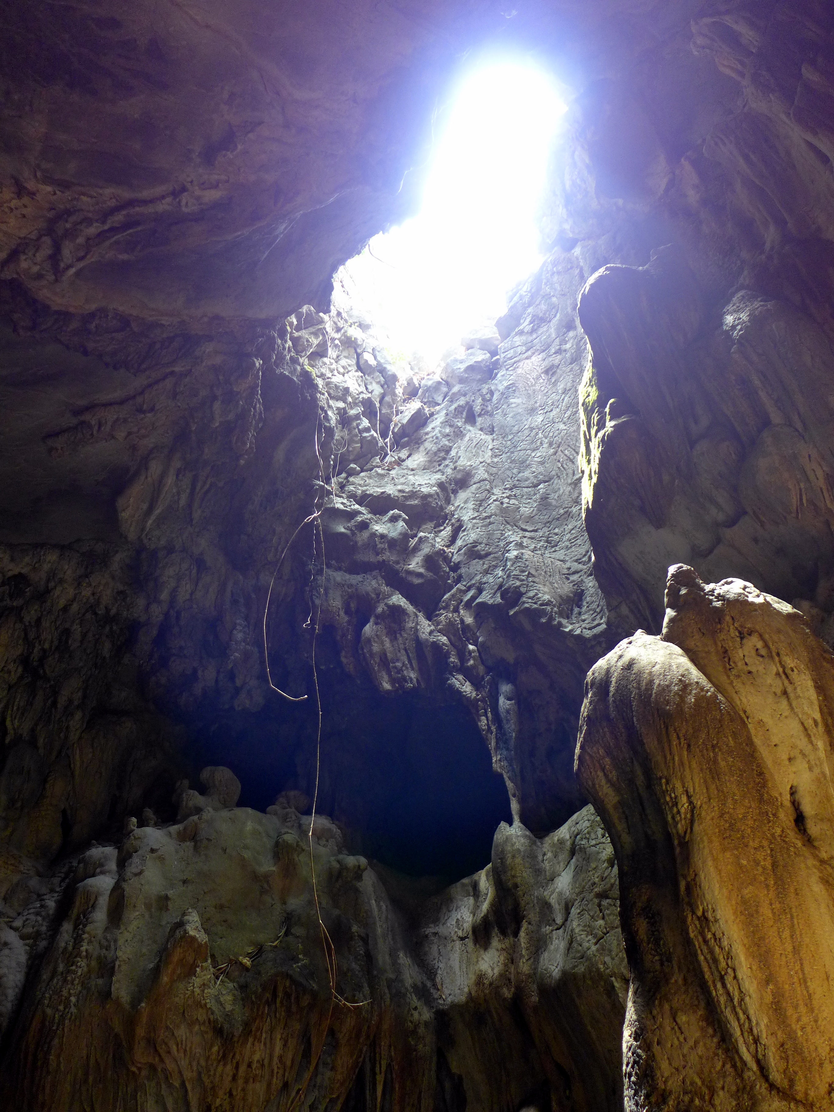
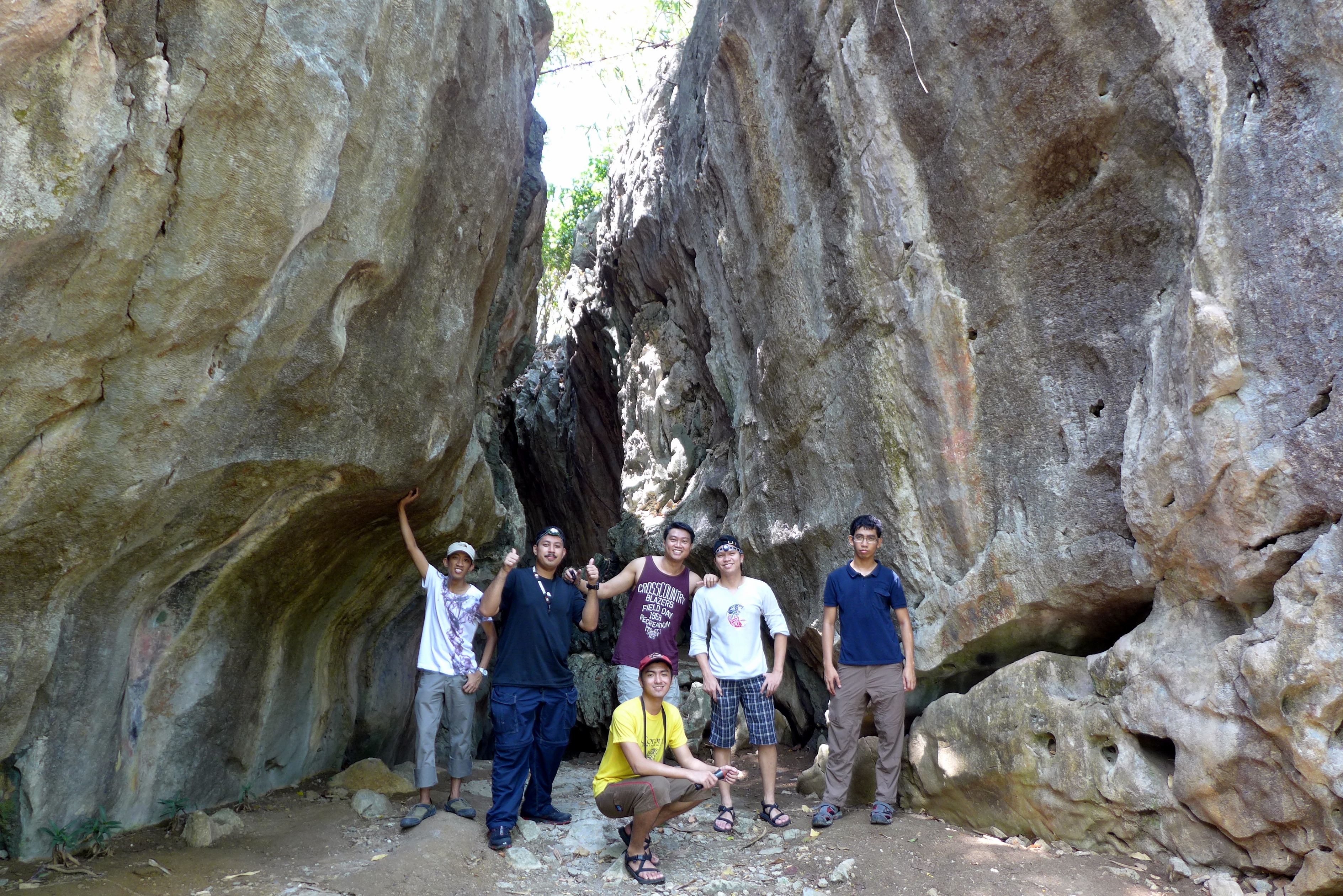
Tinipak Cave
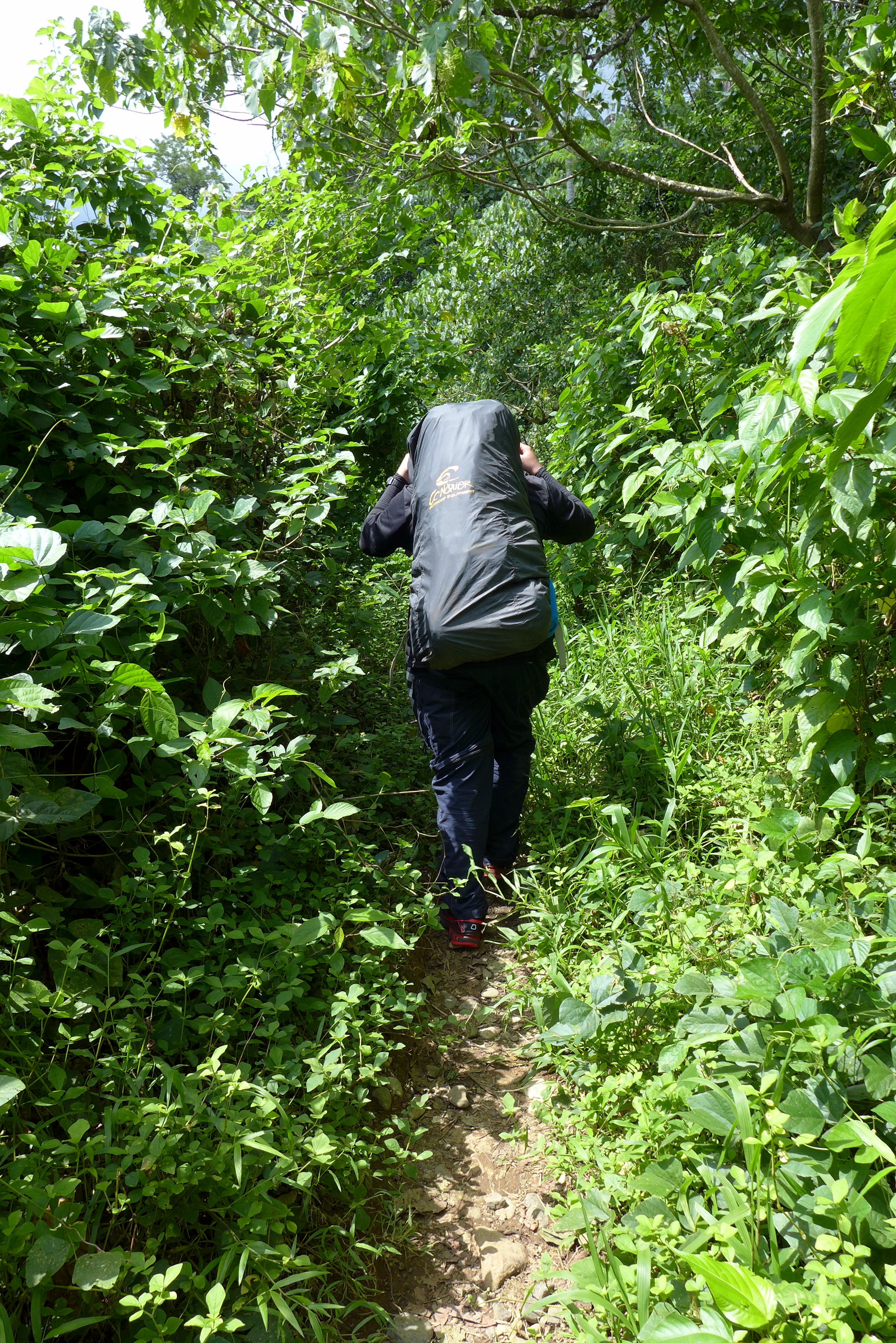
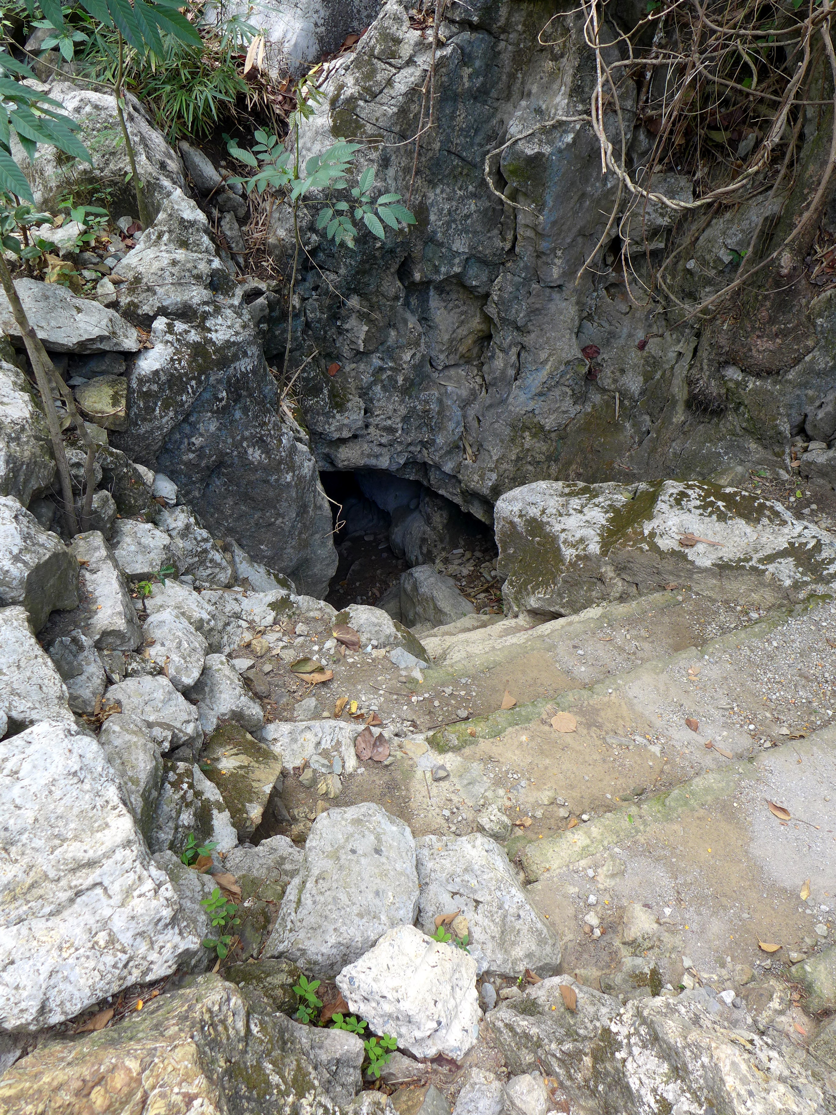
Tinipak Cave is just some hundred meters away from where we camped at Tinipak River. We brought our head lamps and flash lights to help us navigate through the cave. We just finished our travel halfway through the cave as we have limited number of flashlights and it was already getting late in the afternoon. Nevertheless, spelunking was spooky fun.
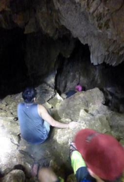
Cave Entrance
–
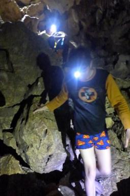
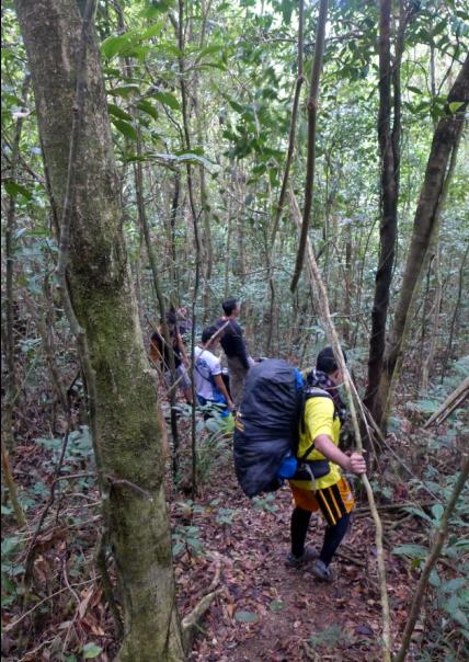
Traversing the Cave
–

Halfway Through – Point of Return
–

Pitstop
–

On Our Way Out
–
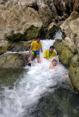
Refreshing Dip after Spelunking
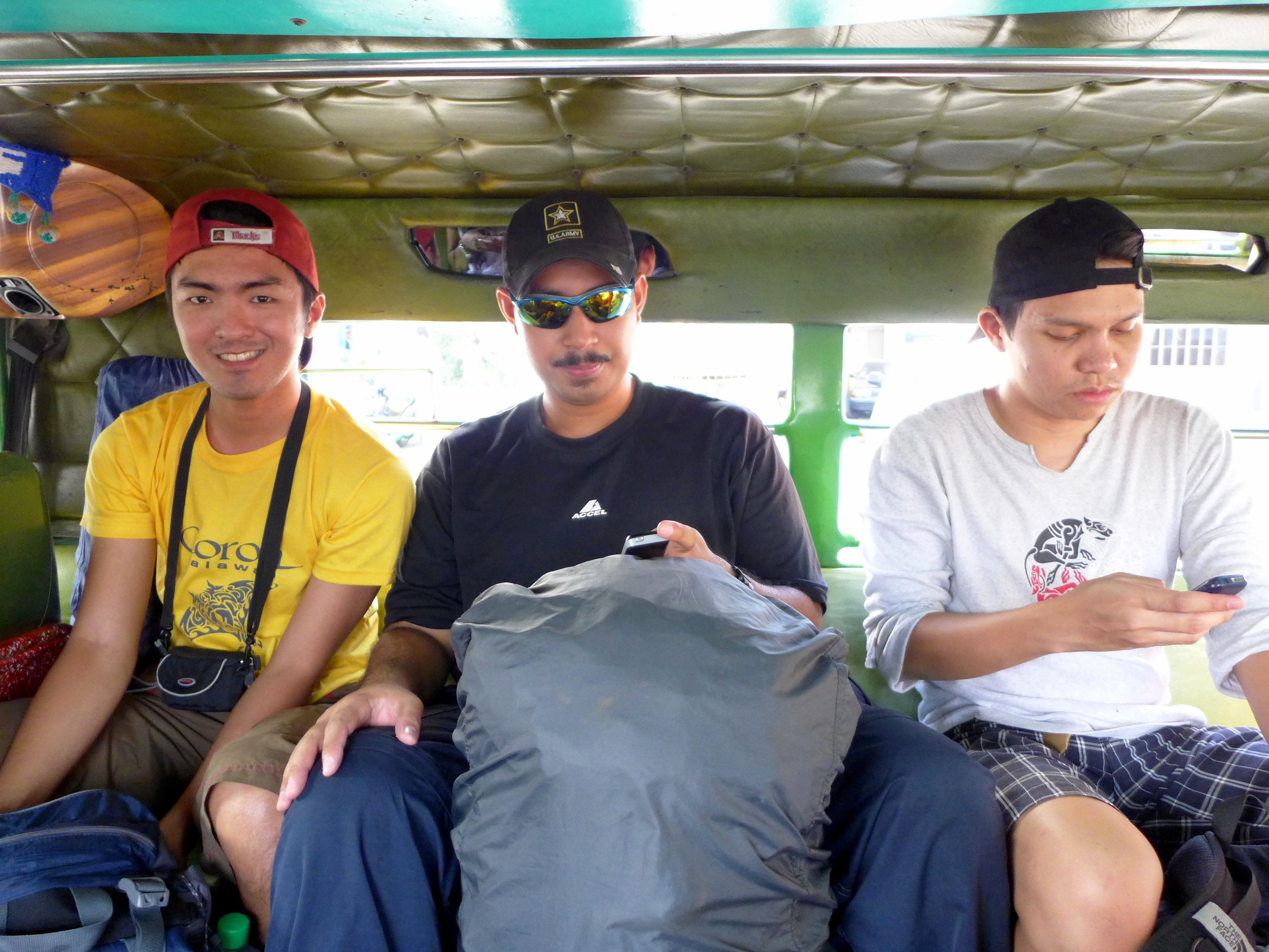
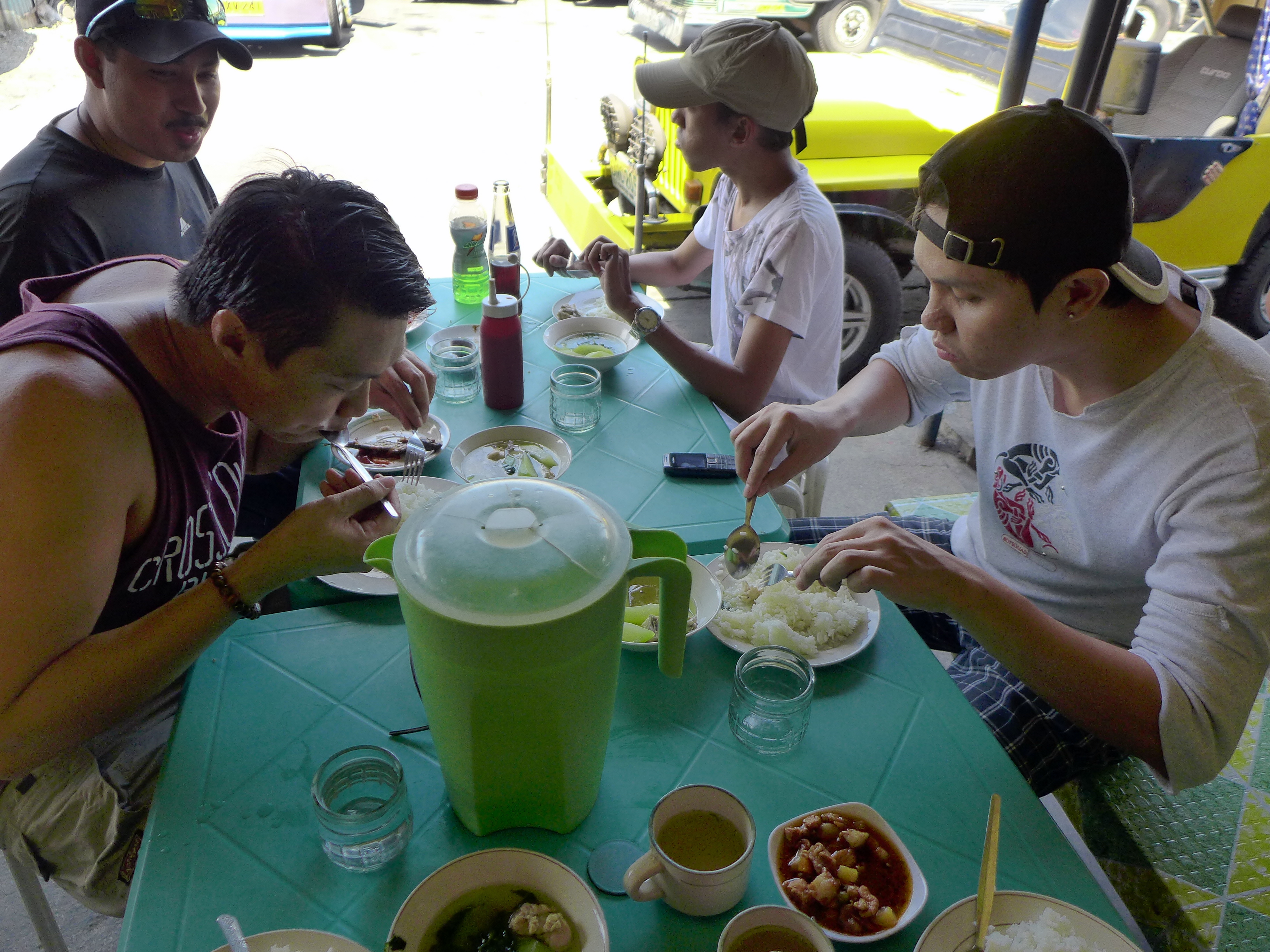
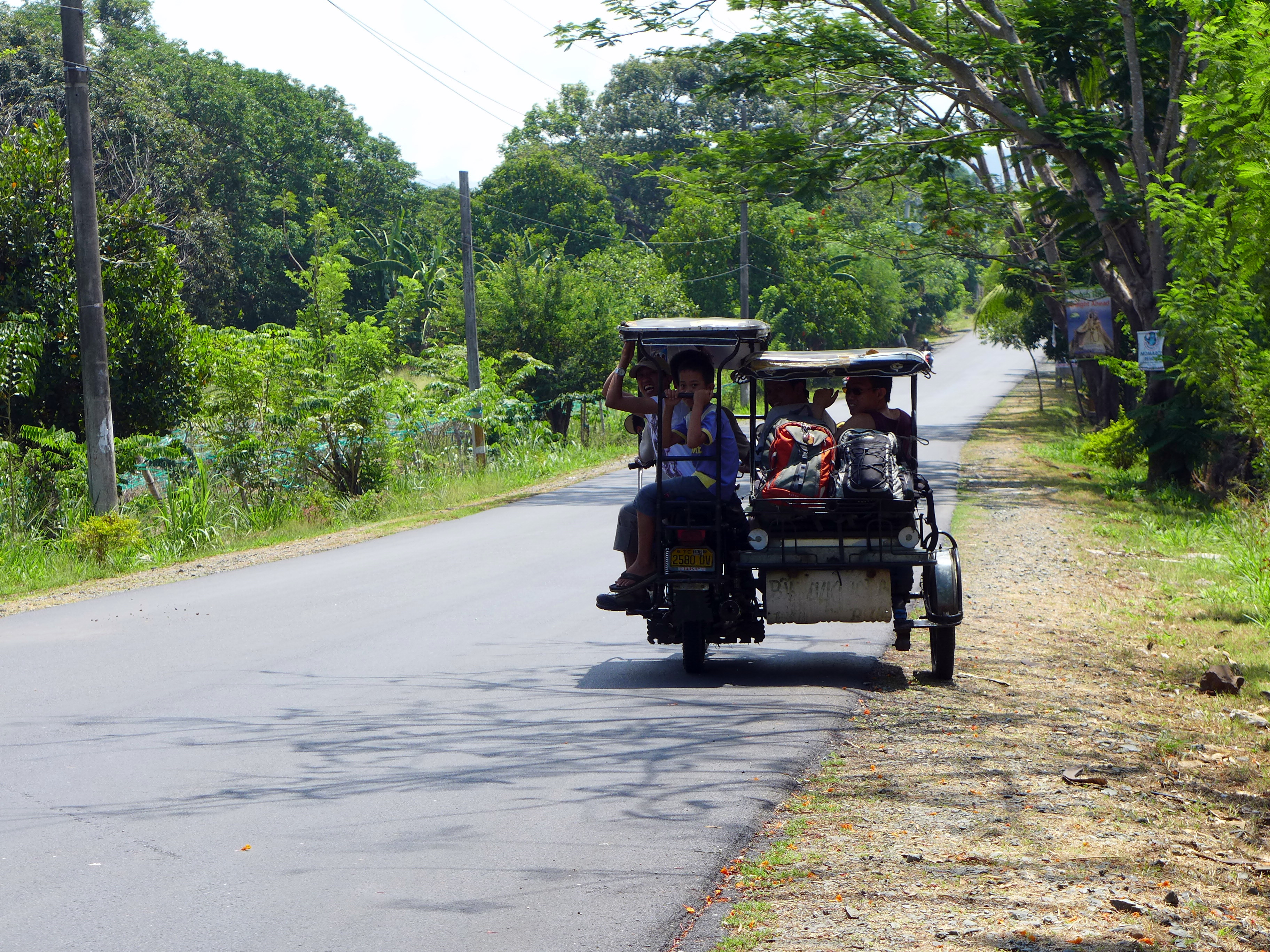
After spelunking, we then departed back to Daraitan Proper, hired a jeepney to bring us back to Tanay and then rode a van back to the Metro.
Expenses and Other Information
Cost: The entire cost of travel (guide fee, transportation, food and supplies) is less than 1000 pesos per person but it is advised to carry another thousand for emergency purposes
Information: You’ll have to register at the Daraitan Barangay Hall where you can hire guides during the entire climbing, hiking, spelunking trip. You can also ask for other tourist spots like waterfalls, canyoneering, rappelling at the said hall.
Tips: Tricycle cost from Tanay to Daraitan is around 300 – 500 per tricycle and should not go beyond this price point in the near future.
If you are travelling in a group of ten, I advise that you hire a jeepney instead of tricycles as it will be faster and less bumpy ride.
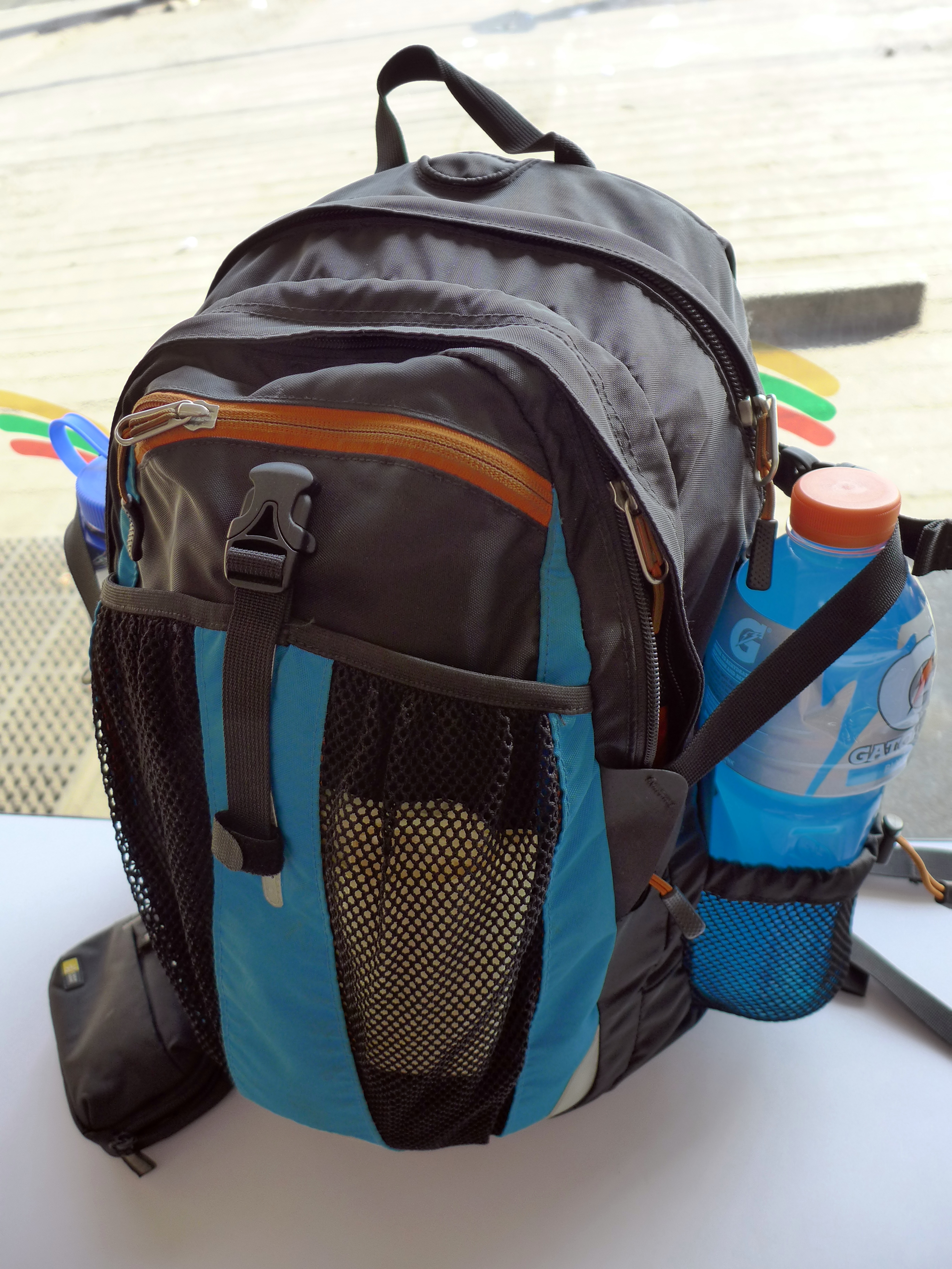
Food and Water: Bring quick, easy cook meals and trail food (soup, egg, salted egg, chocolate powder drink, nuts, candy or energy bars). As for water, bring about 2L – 3L per person. Also bring energy drinks as you will need lots and lots of ATP (energy).
Final words
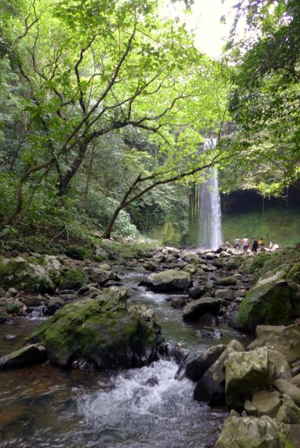
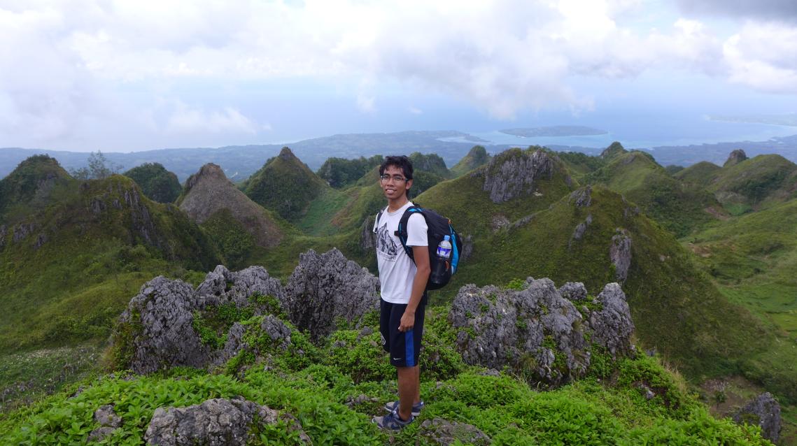
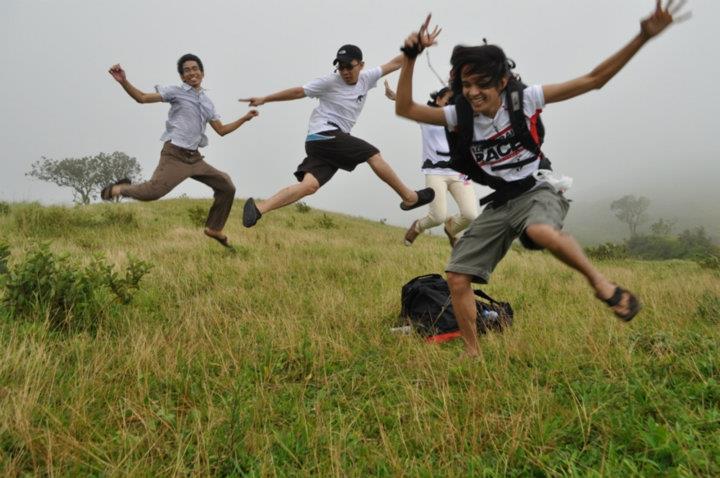
Compared with Mt. Gulugod Baboy in Batangas, Mt. Romelo in Laguna and Osmena Peak in Cebu, this climb is probably the toughest but rewards you the most. Daraitan has river and cave systems which you can explore as side trips. The advantage of Romelo is the sheer number of beautiful waterfalls it has to offer (more than four waterfalls). Also, Romelo has buko / coconut juice refreshments available for 10 -20 pesos at essential stops along the way. As for Gulugod baboy, it is a fairly easy climb in which the peak offers a beautiful grassy terrain. During descent you can go directly to the beach to relax and enjoy. Osmena Peak is also a fairly easy 15-30 minutes climb but gives stunning views of adjacent ragged peaks and the Bohol Sea during clear weather.

Buruwisan Falls at Mt. Romelo, Famy, Laguna
–

Osmena Peak at Dalaguete, Cebu
–
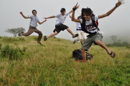
Jump Jump Jump at Mt. Gulugod Baboy, Batangas. Credits – Marvin Bonifacio
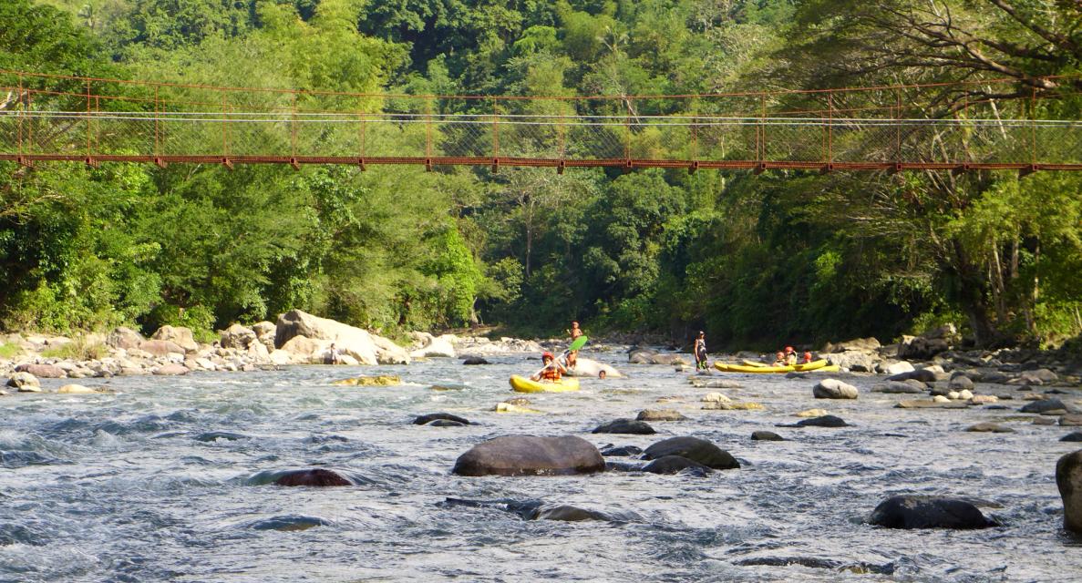
I wish that the local government check on the possibility of developing river kayaking, river tubing, and river rafting as an extreme sports activity.

River Kayaking at Tibiao, Antique
–
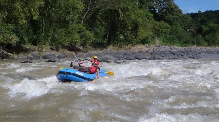
Whitewater Rafting at Davao City
Mt. Daraitan – I will definitely return and hopefully visit your waterfalls next time.
Links:
Part 1: https://solersystem.wordpress.com/2013/07/01/travel-tanay-calinawan-cave-05252013/
Part 2: https://solersystem.wordpress.com/2013/07/02/travel-mt-daraitan-ascent-05252013/
Part 3: https://solersystem.wordpress.com/2013/07/03/travel-mt-daraitan-sunrise-05262013/
Part 4: https://solersystem.wordpress.com/2013/07/04/travel-mt-daraitan-descent-05262013-2/
Part 5: https://solersystem.wordpress.com/2013/07/05/travel-daraitan-tinipak-river-and-cave-05262013/