(This is the second part in a series of five entries for Tanay – Daraitan)
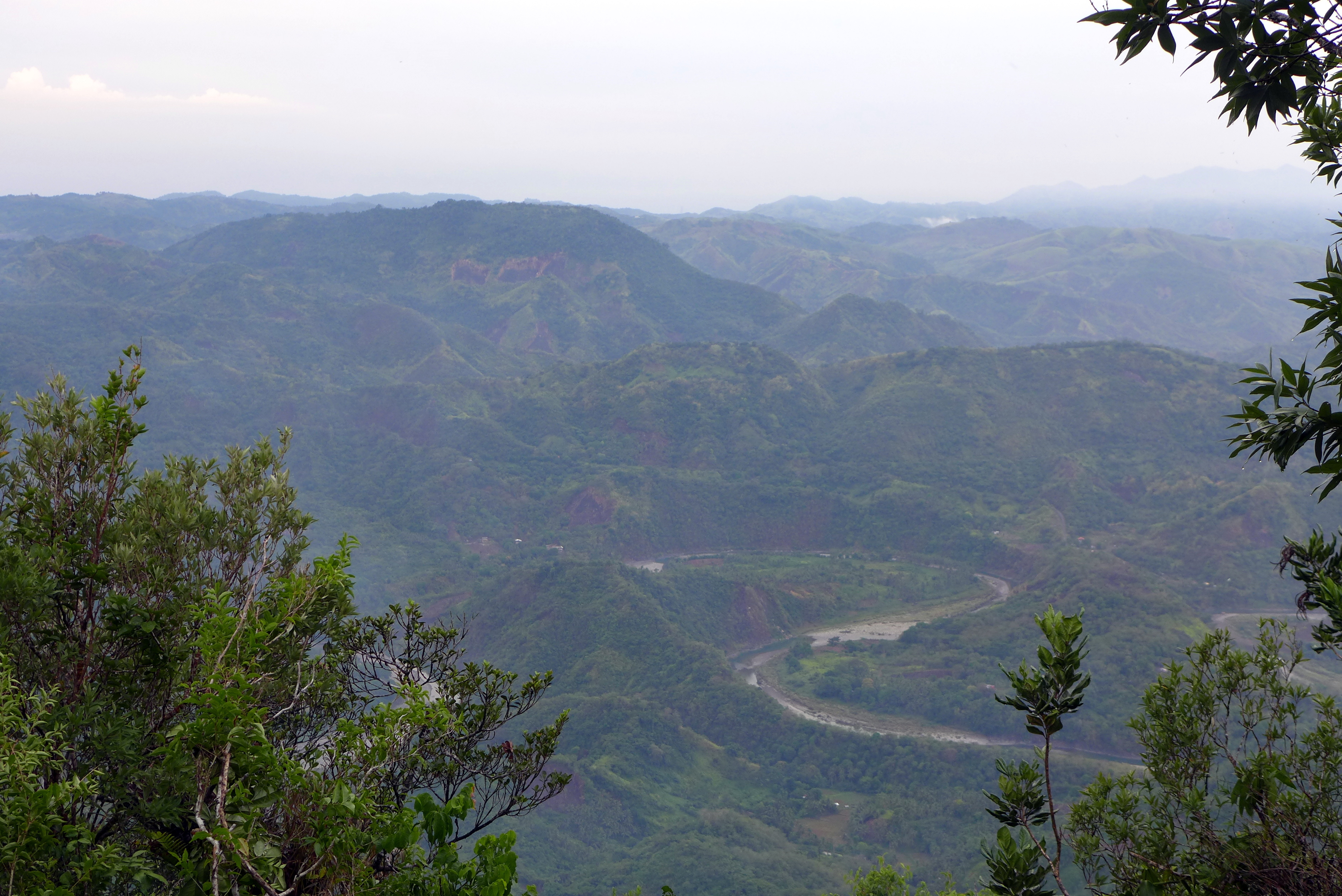
After our Calinawan cave traverse, we immediately took off for Daraitan proper and bypassed Daranak falls due to time limitations. Travel time from Calinawan to Daraitan Proper is about an hour. We still get to peek at Laguna de Bay once more before we arrive at Daraitan / Tinipak River crossing.
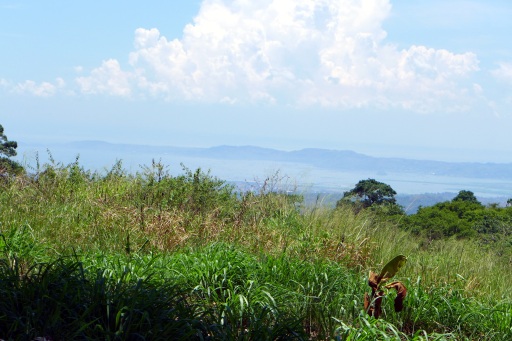
Laguna de Bay
Mt. Daraitan at a Glance
Mount Daraitan is a mountain in the boundaries of Tanay, Rizal and Quezon Province. Average height is around 400m above sea level.
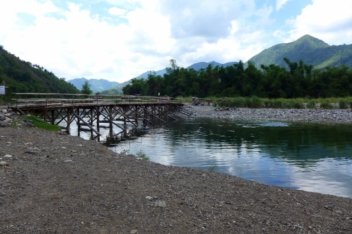
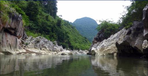
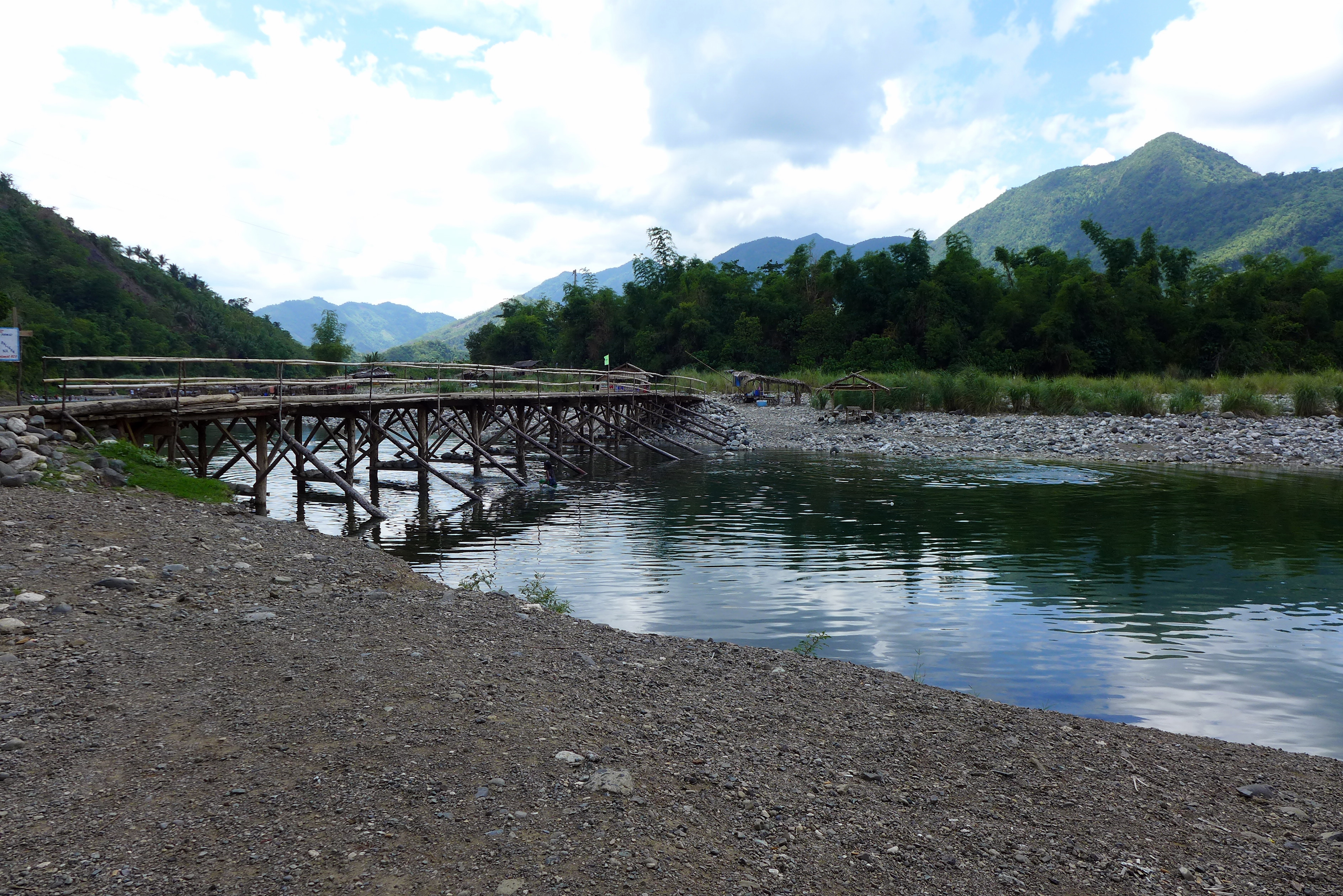
Daraitan River Crossing
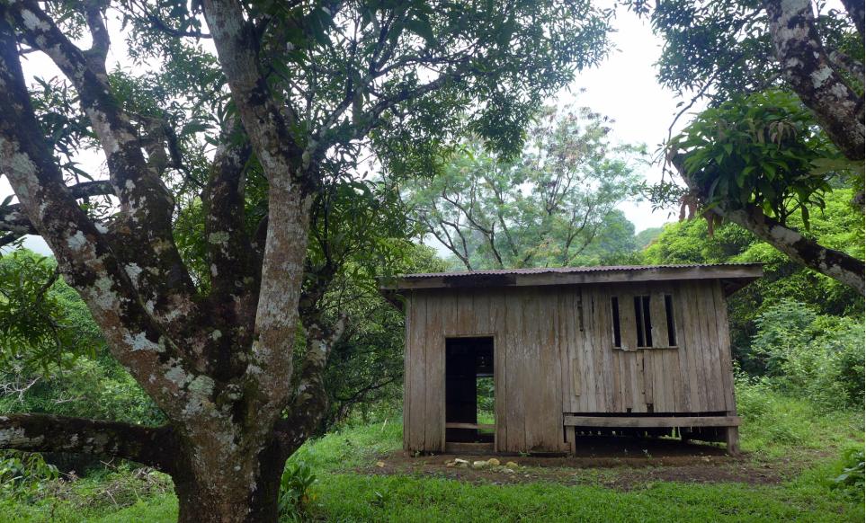
Daraitan Proper
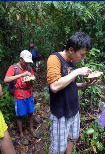
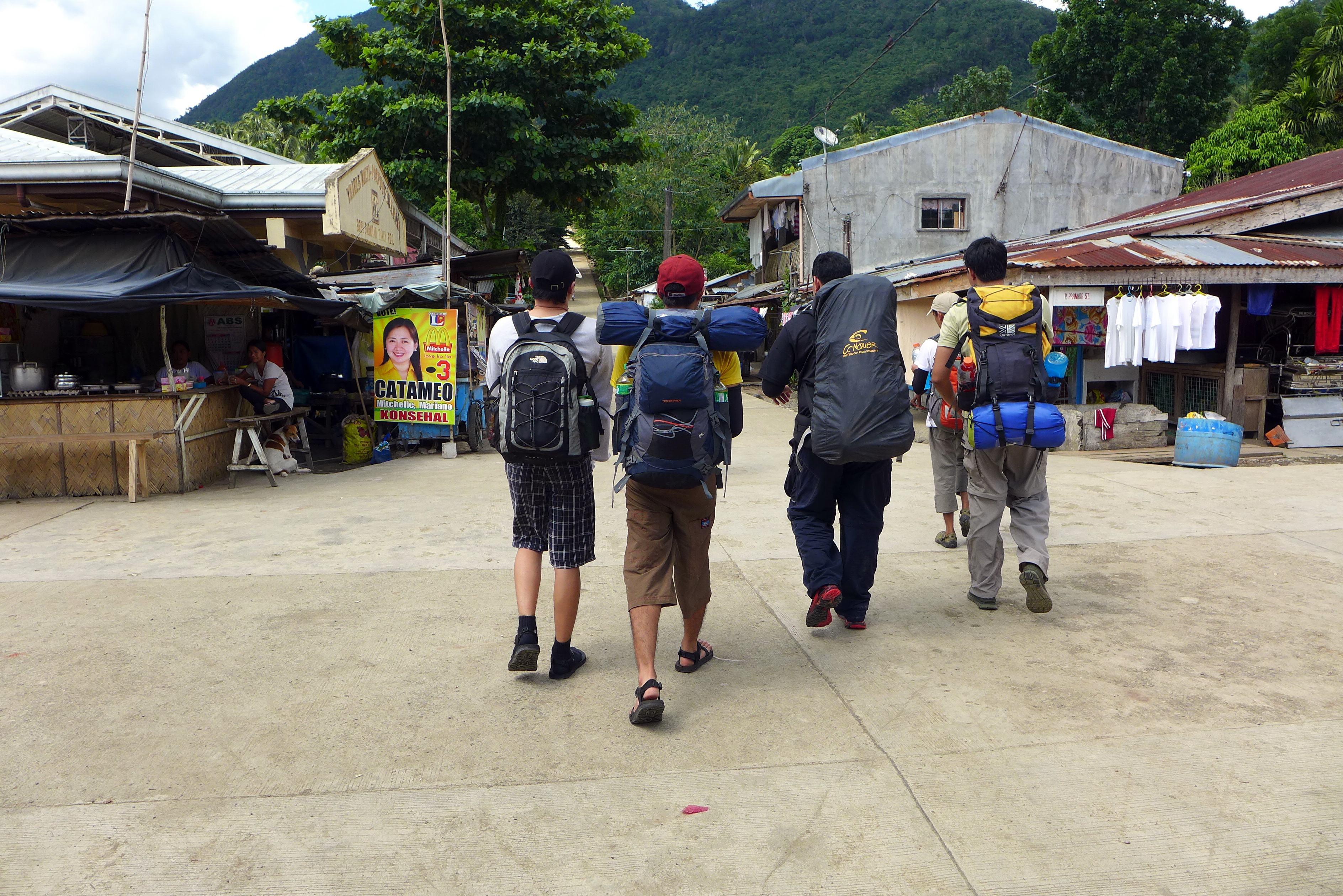
Daraitan Proper is more of a Sitio / Barangay. It has a barangay hall, school, market at its center and is surrounded by the houses of the community. We headed to the Barangay Hall to register and get to hire two guides for the hike. We rested for a bit and enjoyed halo-halo for only twenty pesos. As an added bonus, we also get to know that we would be one of the first ten groups to reach the peak of Daraitan. (I am not sure if this is true though or the locals just made it up)
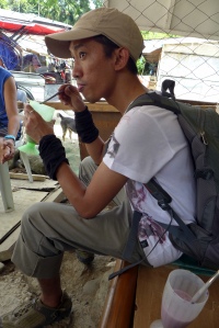
Halo halo Break
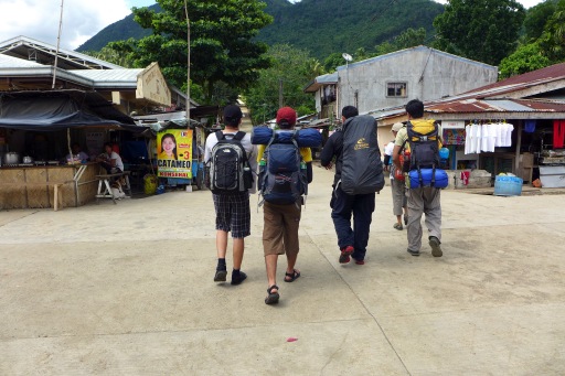
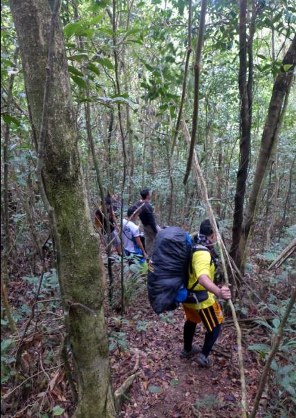
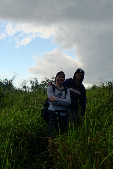
Team getting ready for the Climb
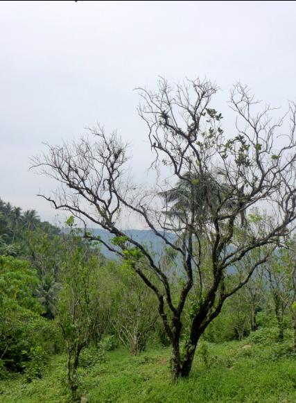
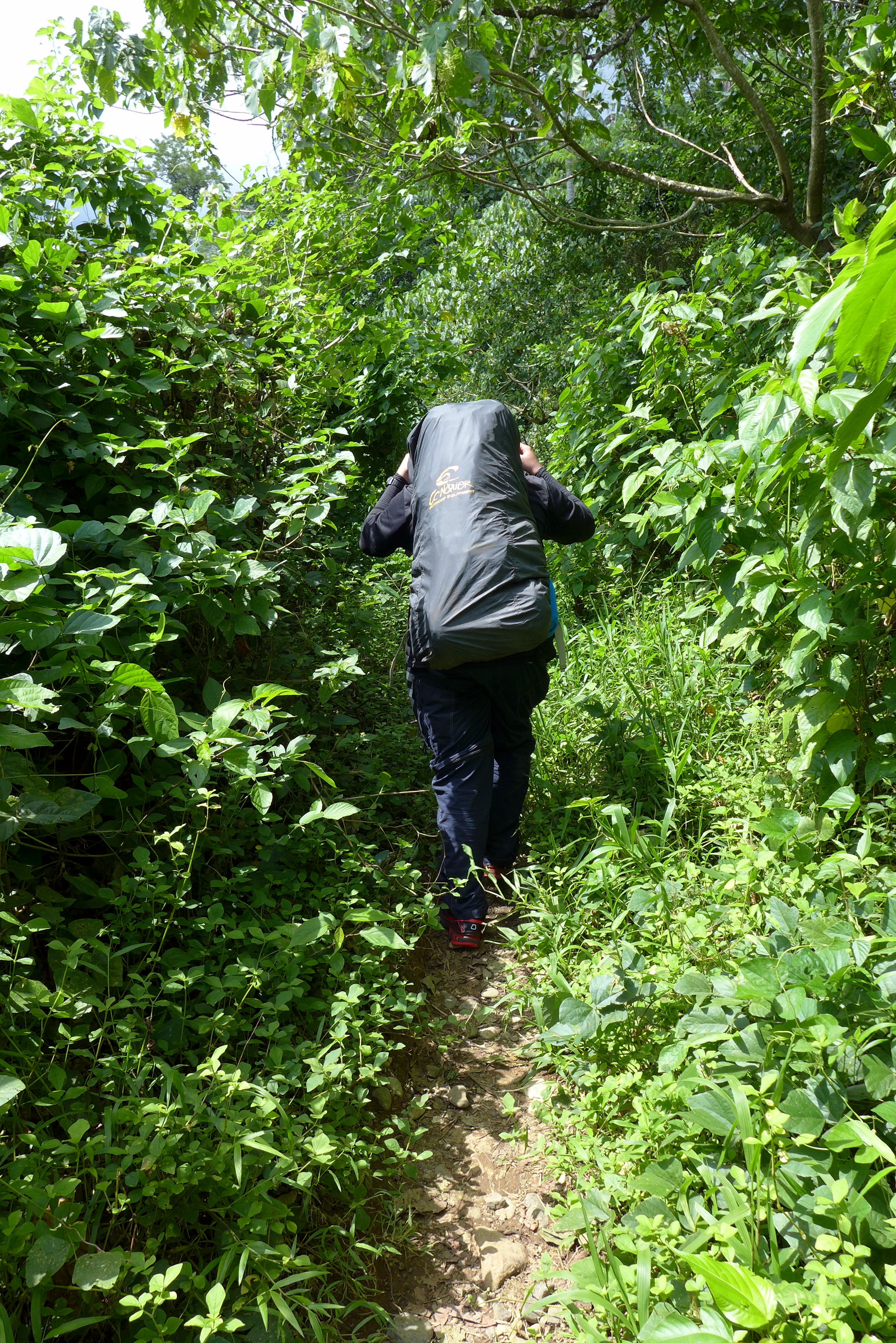
The first thirty minutes of our climb was grueling. The heat was intense, the sun was at its peak and the inclination of the soil was varying between 10 to 30 degrees and there are the occasional inclinations of greater than 30 degrees.

Hot and Humid
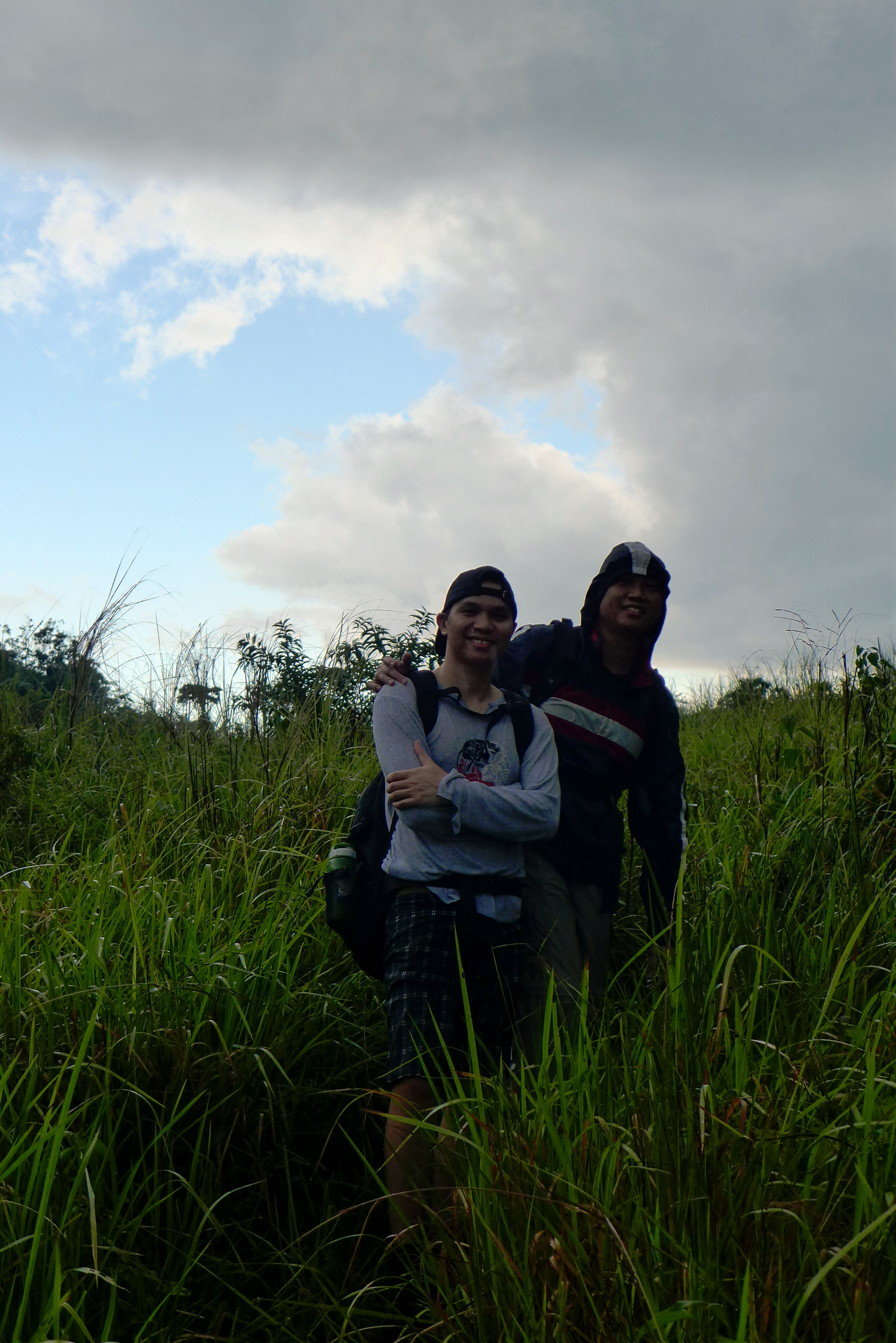
And then, for an hour, it rained hard. For me, it was a blessing that it rained because it made our climb less tiring. The catch is that it made the trail slippery and our backpack along with its contents wet. (Waterproofing is always advised during climbs) Nevertheless, I was happy hiking while raining (I don’t know about the others though. Hehe)
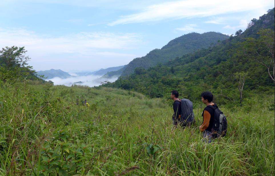
Grasslands – easy but tricky
The Grasslands
Upon reaching the famed grassland, the weather cooperated and the sky brightened. The scent of grass and the cold breeze was a pleasure to the senses. The trail is similar to Mt. Gulugod Baboy’s Summit trail though the grasses are taller and sharper. Take caution while navigating the grasslands as they can really inflict shallow wounds in which after some time the part of the skin touched by the grass becomes itchy. This is why it is advised to wear long sleeved shirts and trekking pants to avoid contact with the grasses. Along the trail, we also got the opportunity to view Daraitan’s peak.
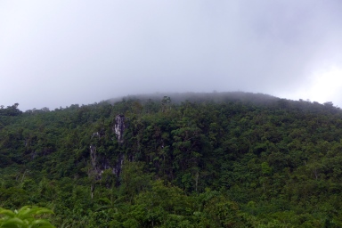
Daraitan Peak from the Grasslands
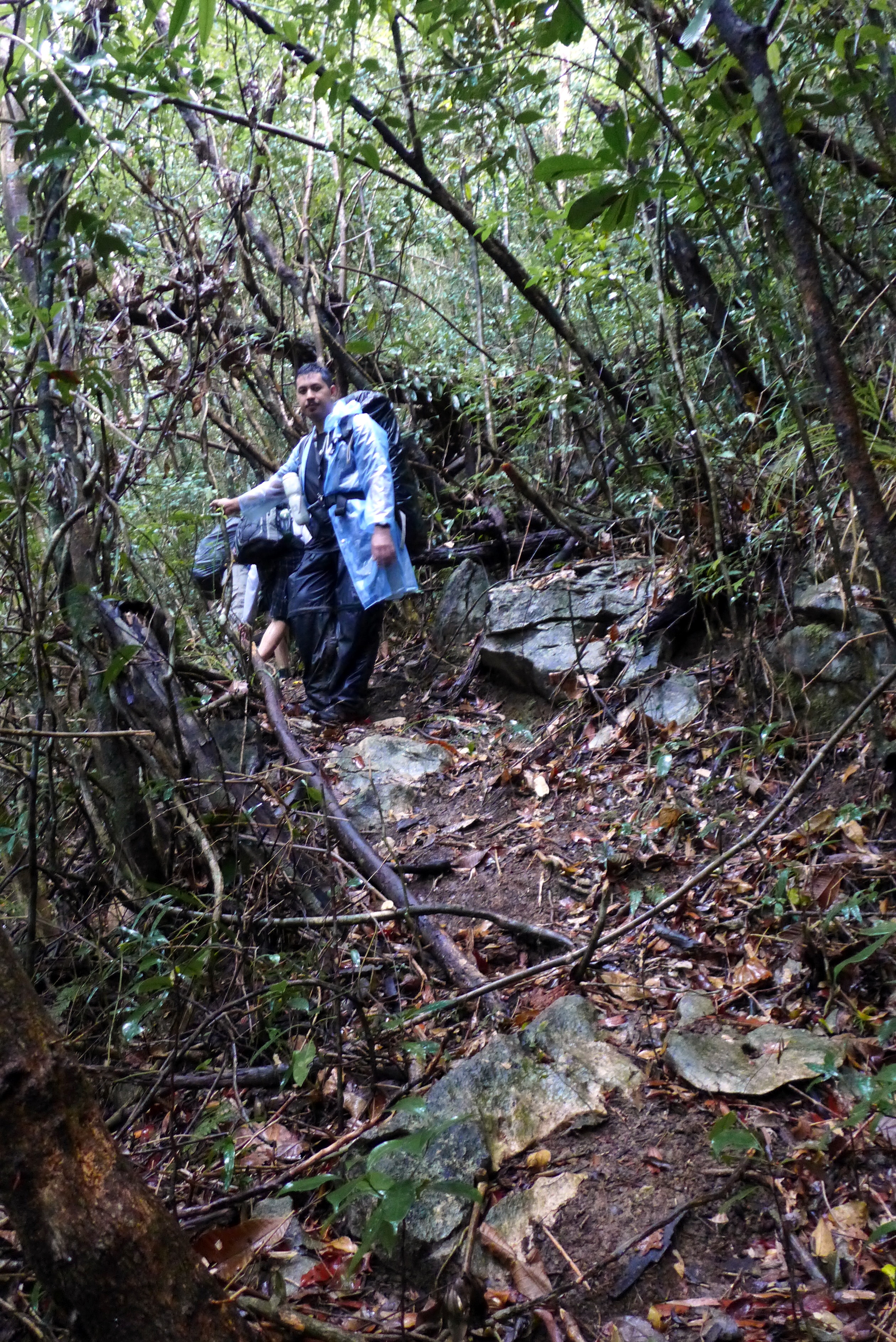
Assault – hardest part of the climb
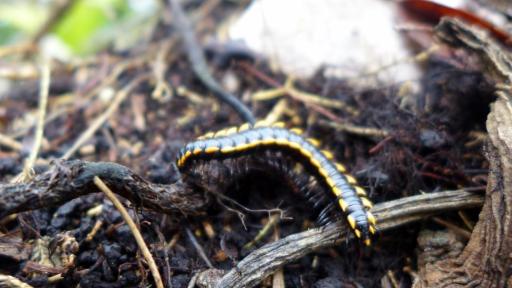
After 15 – 30 minutes of easy walking comes one of the toughest parts of the climb – the assault. Loose rock and soft soil make up a significant part of the trail so it is advised to make use of your four limbs. Inclination of the trail is mostly greater than 30 degrees with occasional angle of greater than 60 degrees. I really think that this is not a class 2 – 3 trail >_<. Also be observant as the trunks and bushes that you cling on to are sometimes sharp and thorny. We also came across a cave system along the way.

Assault!!!
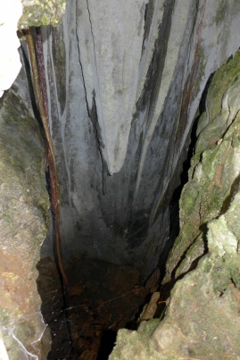
Cave System along the Way
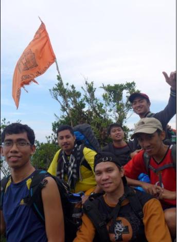
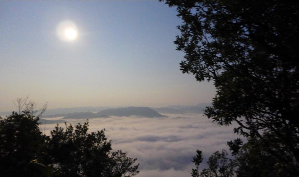
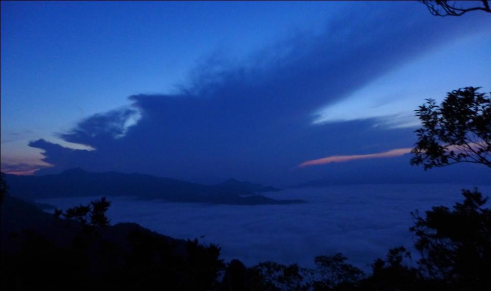
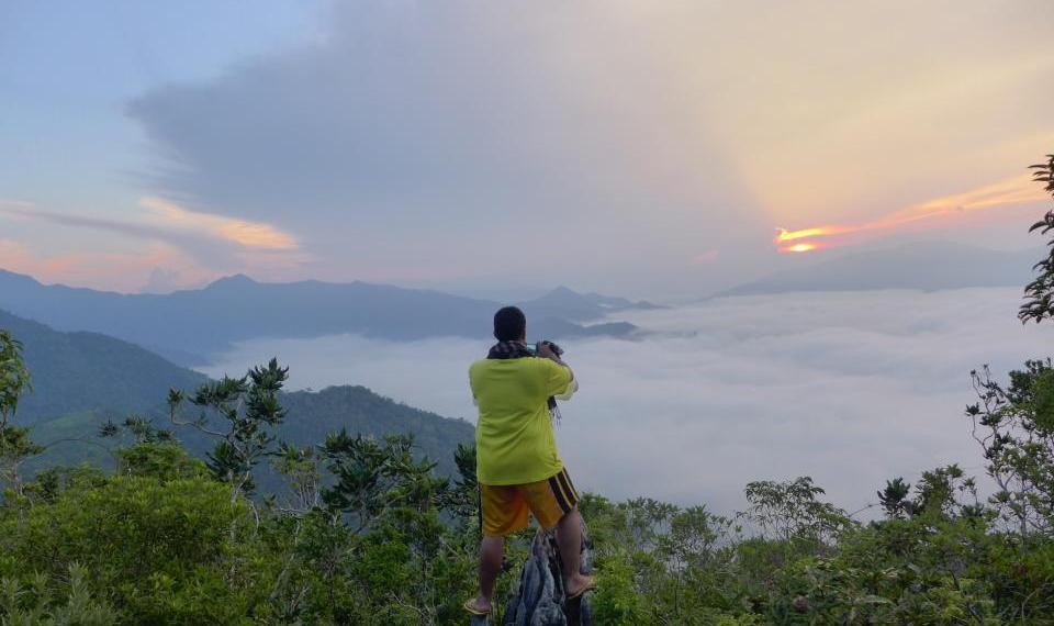
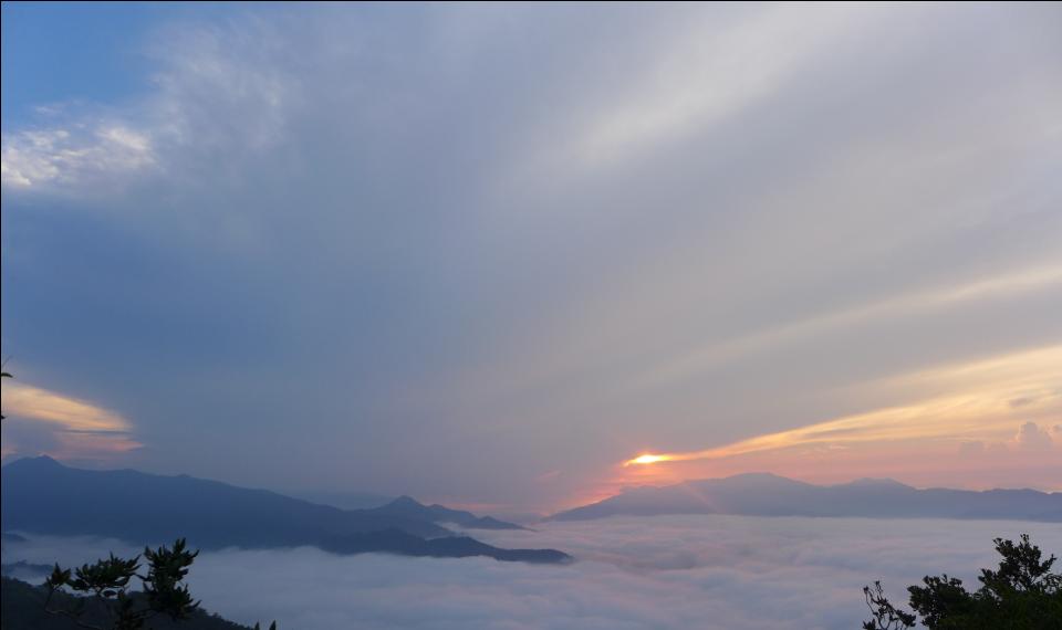
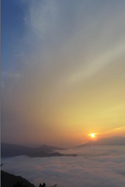
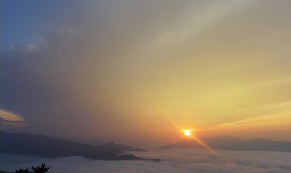
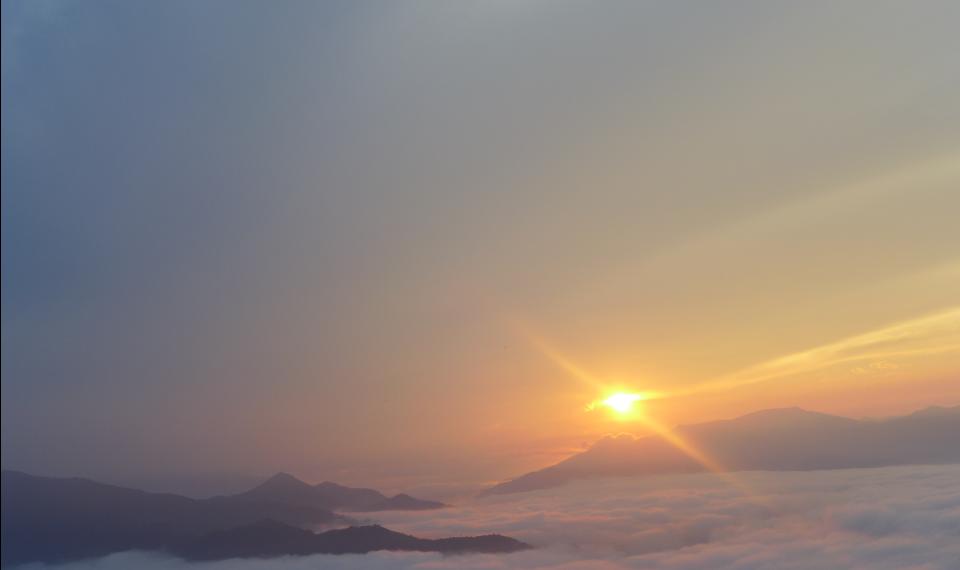
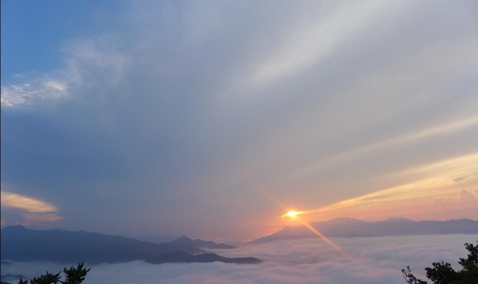
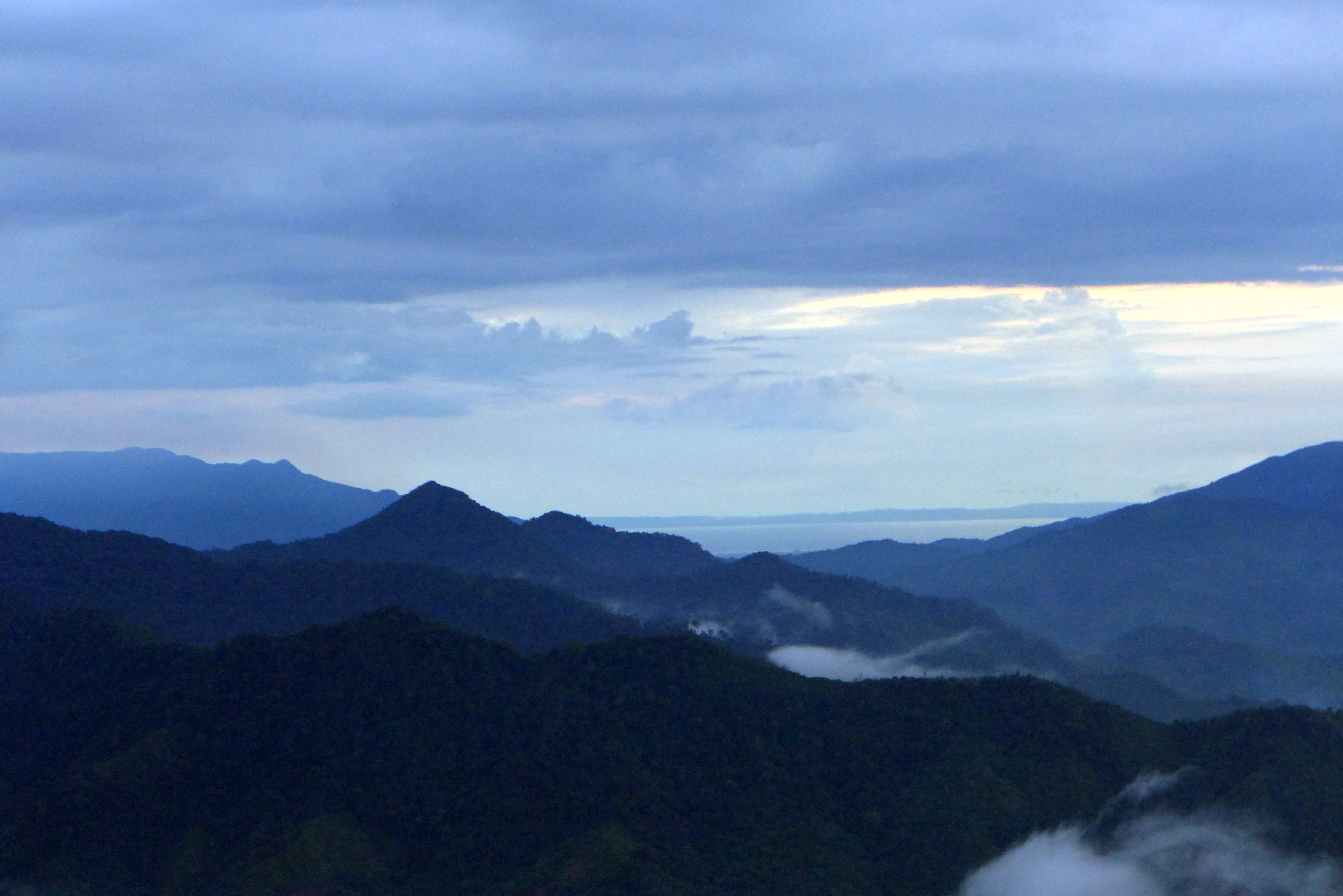
The camp at the summit
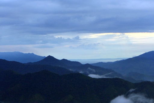
The camp was full of shrubs and bushes that’s why we had to clear the ground using a jungle bolo for us to set our tents. We also got a view of the Daraitan / Tinipak River in the western section of the peak and Polillo Islands on the eastern side. Two other groups accompany us as the peak of daraitan. The first one was a lovely couple in their twenties and the other was a group of Lasallian IT graduates.

Daraitan River at a Distance
Polillo Islands at a Distance
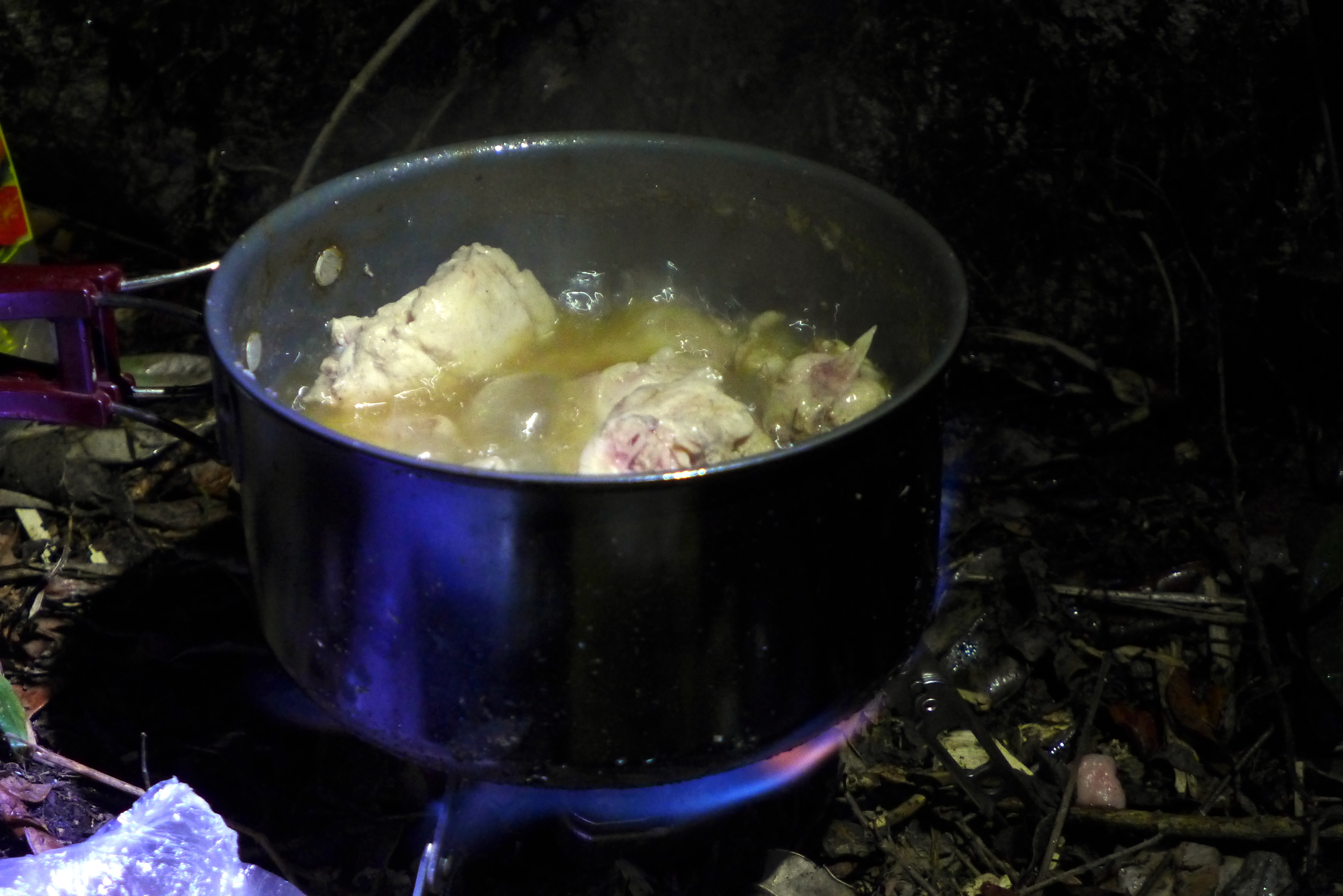
Dinner by Lester
If you are a mountaineer, I bet that you become thankful for every food served and every food served tastes more delicious and filling. I was happy that Lester came along the trip. I did not imagine in my wildest dreams that he will cook menudo / afritada (chicken with tomato sauce) atop the mountain.

Chicken Menudo / Afritada
Links:
Part 1: https://solersystem.wordpress.com/2013/07/01/travel-tanay-calinawan-cave-05252013/
Part 2: https://solersystem.wordpress.com/2013/07/02/travel-mt-daraitan-ascent-05252013/
Part 3: https://solersystem.wordpress.com/2013/07/03/travel-mt-daraitan-sunrise-05262013/
Part 4: https://solersystem.wordpress.com/2013/07/04/travel-mt-daraitan-descent-05262013-2/
Part 5: https://solersystem.wordpress.com/2013/07/05/travel-daraitan-tinipak-river-and-cave-05262013/